Alert
Alerts
Plat Aiguille loop

Description
Allow yourself to be guided through fields and forests. Take the time to look around and to turn your excursion into a discovery of the many riches in store along the way.
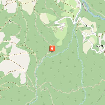
From the car park, cross the bridge to the village square in Baratier.
Take the road leading uphill to the left following the sign "Boucle de Champs Rambaud". As the road rises, follow signs for "Belvédère de Plat Aiguille". At the top of a field, leave the road and take the forest path on the left.
When you come to a paved road, go across the little earth mound and keep going in the same direction. The way rises along the edge of the fields.
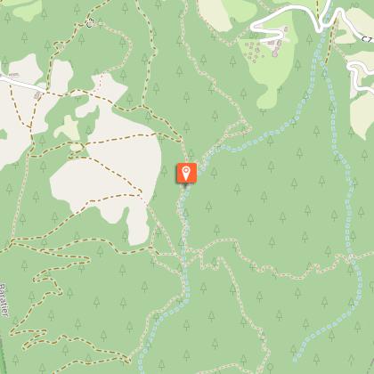
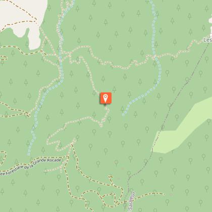
Two paths lead off at the next junction; take the uphill path towards the belvedere ("Belvédère"). At the turning, stay on the left and follow the path leading alongside the black marls. When you come to the « plat Aiguille 1,308 m » sign, continue to head towards the belvedere. After a lovely ascent, you will come to the Plat Aiguille belvedere.
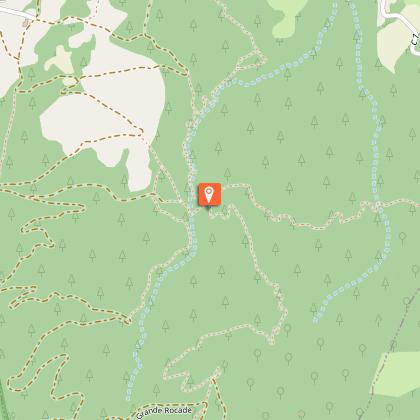
Turn right at the top of the small rise and follow the wide bypass. From this point, the way back to the village is entirely downhill. First, follow the Charmaille road, the Jean-Blanc spring and then the village square.
A few hundred metres further on, turn right at the gate and leave the wide bypass.
After going through the last gate which brings you onto the road, turn right and continue downhill to the village square.
Technical Information
Altimetric profile
Starting point
Points of interest
Additional information
Public transport
Public transport: www.pacamobilite.frconsider car-sharing: www.blablacar.fr
Advice
There a many timber industry tracks along the route. Be sure to follow the correct waysigns. Take care at the tricky section at "Terre Noire"
Advised parking
Car park at the information point at the entrance to the village of Baratier
Access
From the roundabout on the N94 main road, at the retail centre, follow signs to Baratier D40. In the village, you can park on the roadside after the information sign.
Arrival
Entrance to the village of Baratier
Ambiance
Take to the heights with this surprising trail that will take you to the small plateau of Aiguille with its panoramic view. On the ascent, you will come across numerous signs providing information about the environment around you. On a winding route you will pass through the remarkable world of the forest and a pastoral landscape of fields.
Departure
Entrance to the village of Baratier
Data author
