Alert
Alerts
Loop 50 - Les Puy


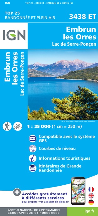
IGN cards


Description
Looking for something longer? The Puy loop can be combined with the Pins and Fontainiers loops. Amateurs beware!
At the hamlet of Les Pins, ascend the Courtez path to the left. Choose the uphill options on the left to reach the route de Loupas.
At the route de Loupas, descend to the right and /!\ slow down before the entrance to Pibou Bas to ascend to the left. At the road, turn left to reach 'Les Bouteils'. After the entrance sign to the village, take the second turning on the right (Chemin du Mounet). Stay on this road until you reach the fountain.
At the fountain, turn right (D9) and climb left towards Serre (D309). At Serre (fountain), continue up the winding road to the left
At the 2nd bend to the right, take the DFCI G2 track (viewpoint) and climb to the right up the Pinee forest road (DFCI G2). Stay on DFCI G2: at the cistern, continue to the right on the Bois Vezin forest road and join DFCI G1.
At the cistern, turn left towards the Para lookout and Puy Sanières. (DFCI G1) Leave the Pinée forest track. Ascend the track to the right (DFCI G1). Stay on the main track until you reach the G5 underground cistern.
At the G5 underground cistern, descend n to the left and stay on the main track.
In the bend, ascend the road to the right. At the church of Puy Ste Eusèbe, turn left twice, and after 300m join a stony track /!\ At the road (D9), turn right twice to reach Le Villard.
Technical Information
Altimetric profile
Starting point
Additional information
Public transport
SNCF: Chorges station, Embrun www.sncf-connect.com/bus : Valserres, La Bâtie Neuve, Chorges, Puy Saint Eusèbe, Puy Sanières, Embrun Baratier, Les Orres, Remollon, Theus, EspinasseMarseille-Briançon : (LER29) Marseille, Nice : Lignes Express Régionales (LER) +33 (0)809 400 415Grenoble : Transisère +33 (0)4 26 16 38 38Gap-Barcelonnette (LER535) Carpooling area : Rond point des Orres - 05200 BaratierPlane: Marseille Provence Airport (188km) - +33 (0)820 811 414Grenoble Alpes Isère Airport (158km) - +33 (0)4 76 65 48 48Lyon Saint Exupéry Airport - (203km) +33 (0)826 800 826Turin Caselle Airport - (178km) + 39 011 567 63 69
Advice
Avant de partir vérifiez l’état de votre vélo, surveillez la météo et équipez vous selon la saison et la durée de votre randonnée.Vous évoluez en zone de montagne, privilégiez des pneus de Gravel large, des freins à disque hydraulique et maitrisez votre vitesse. Prudence dans la descente du Hameau de Vière et pour rejoindre la vallée de la Durance.Pour plus de confort faites appel à un moniteur de cyclisme Secours : 112
Herd protection dogs
In mountain pastures, protection dogs are there to protect the herds from predators (wolves, etc.). When I hike I adapt my behavior by going around the herd and pausing for the dog to identify me. Find out more about the actions to adopt with the article "Protection dogs: a context and actions to adopt". Tell us about your meeting by answering this survey.
Advised parking
Le Villard near the town hall, Puy Saint Eusèbe
Access
From Grenoble, Lyon, Paris : RN 85 or RN 75. At Gap, take the RN 94 towards Briançon. From Marseille, Montpellier A51 to La Saulce, continue towards Tallard (D942) and Briançon (RN 94).
Arrival
Le Villard, Puy St Eusèbe
Ambiance
This pretty Gravel loop on the southern flank of Mont Guillaume passes through a string of hamlets that make up the villages of Puy-St-Eusèbe and Puy-Sanières. The second part of the route climbs into the forest. The picnic stop at Belvédère de la Para is ideal.
Departure
Le Villard, Puy St Eusèbe
Data author
