Alert
Alerts
Type of practice
Mountainbiking
Hard
2h30mn
Presentation
Description
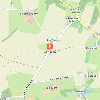
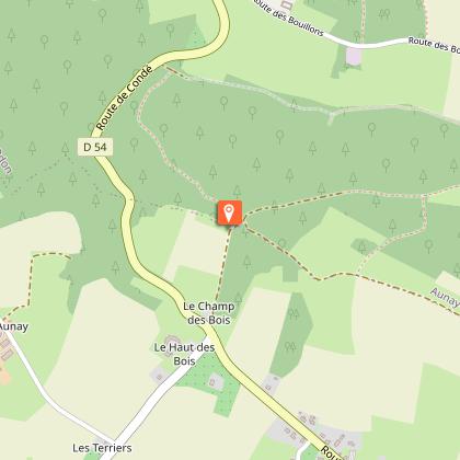
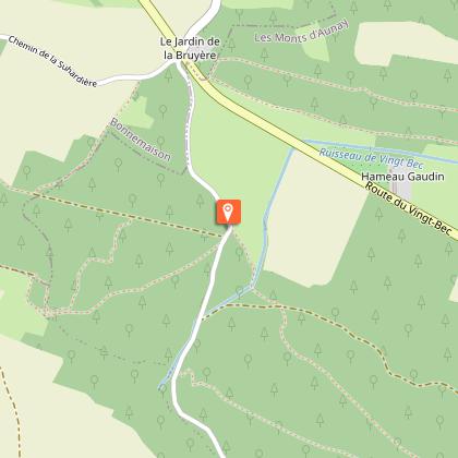
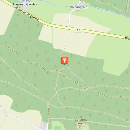
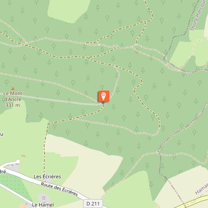
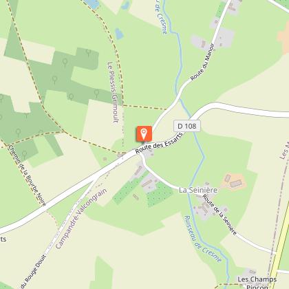
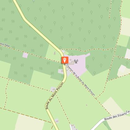
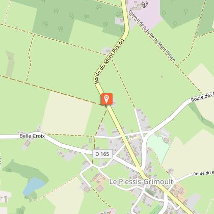
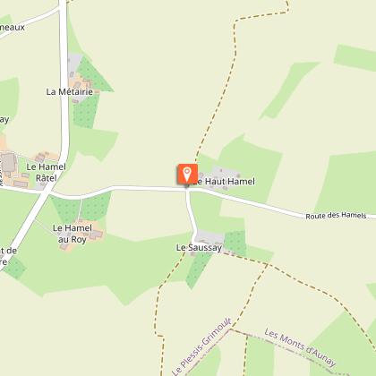
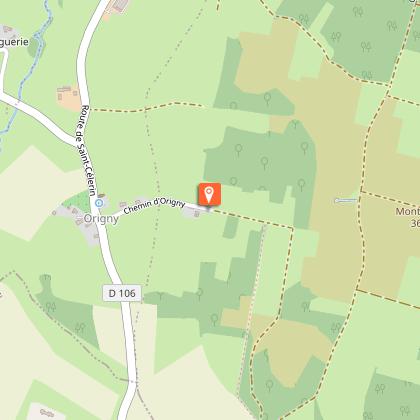
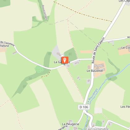
Map
Steps
Ratings and reviews
See around
A l'assaut du Mont Pinçon
IGN cards

1513SB - AUNAY-SUR-ODON VILLERS-BOCCAGE SAINT-ANDRÉ-SUR-ORNE
Editor : IGN
Collection : TOP 25 ET SÉRIE BLEUE
Scale : 1:25 000
13.90€

VEL14 - LA MANCHE A VELO
Editor : IGN
Collection : DECOUVERTE A VELO
Scale : 1:100 000
9.10€
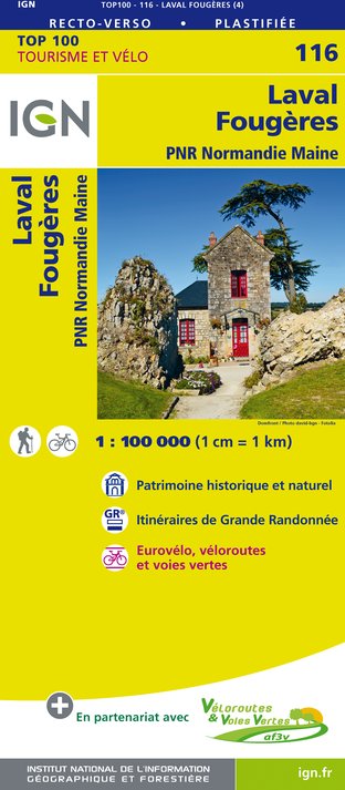
116 LAVAL FOUGÈRES PNR NORMANDIE MAINE
Editor : IGN
Collection : TOP 100
Scale : 1:100 000
8.40€
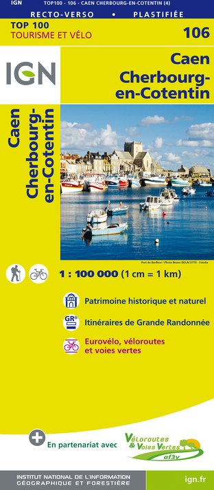
106 CAEN CHERBOURG-EN-COTENTIN
Editor : IGN
Collection : TOP 100
Scale : 1:100 000
8.40€

D50 MANCHE
Editor : IGN
Collection : CARTES DÉPARTEMENTALES IGN
Scale : 1:150 000
5.90€
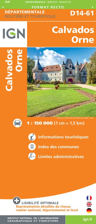
D14-61 CALVADOS ORNE
Editor : IGN
Collection : CARTES DÉPARTEMENTALES IGN
Scale : 1:150 000
5.90€

NR02 NORMANDIE
Editor : IGN
Collection : CARTES RÉGIONALES IGN
Scale : 1:250 000
6.80€

801 FRANCE NORD OUEST
Editor : IGN
Collection : CARTES NATIONALES IGN
Scale : 1:320 000
6.10€

EUROPE
Editor : IGN
Collection : DÉCOUVERTE DES PAYS DU MONDE IGN
Scale : 1:2 500 000
7.00€
Description
A mountain bike trail to discover Mont Pinçon, the highest point in Calvados, and the Valcongrain forest.
Technical Information
Mountainbiking
Difficulty
Hard
Duration
2h30mn
Dist.
28 km
Type of practice
Mountainbiking
Hard
2h30mn
Show more
Altimetric profile
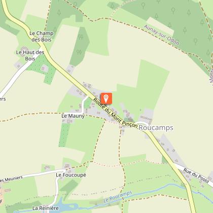
Starting point
Mairie de Roucamps
,
LES MONTS D'AUNAY
Lat : 48.991161Lng : -0.625682
Steps
Additional information
Contact
Email : contact@paysdevire-tourisme.fr
Website : http://www.paysdevire-normandie-tourisme.fr
Tel : 02 31 77 16 14
Data author

proposed by
Pays de Vire - Collines de Normandie
square de la Résistance 14500 Vire Normandie France
Ratings and reviews
To see around