Alert
Alerts
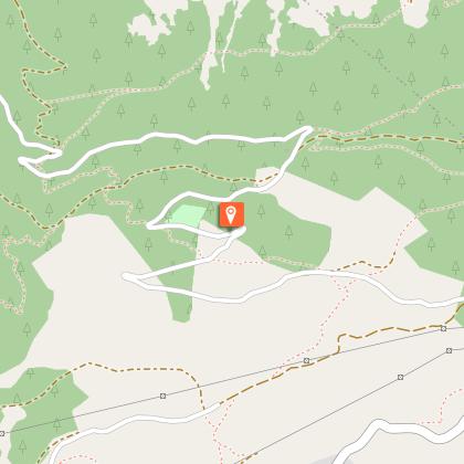
Hiking route : Tour de la Roche de Janatan trail
Description
Discover a superb viewpoint of the Beaufortain and Vanoise massifs from the top of Roche de Janatan.
Technical Information
Altimetric profile
Starting point
Additional information
Environments
Overview on river
Mountain view
Mountain location
Updated by
Office de Tourisme de la Grande Plagne - 31/03/2026
www.la-plagne.com
Report a problem
Open period
From 01/01 to 31/12 daily.
Subject to snow cover.
Contact
Phone : 04 79 55 67 00
Email : info.vallee@la-plagne.com
Type of land
Stone
Ground
Hard coating (tar, cement, flooring)
Not suitable for strollers
Guidebook with maps/step-by-step
0/ Set off from the car park at Le Chapieu.
1/ Follow the path towards La Combe, and cross Nant de Tessens at the little bridge.
2/ At "Quatre Chemins", go right and climb to Roche de Janatan.
3/Follow the ridge that goes to "Pointe du col" then to Col de la Légette.
4/ Go back to Le Chapieu via the Chalet des Mouilles, the "Boulissoir" and Lac de Sècheron.
Animals
Yes
Data author
