Alert
Alerts
Hiking route : Sentier de l'eau (water theme trail) Montgirod
Description
Explore a themed trail along a mountain stream, surrounded by pine trees and waterfalls.
***ROAD CLOSED IN MONTGIROD from 8 a.m. to 5 p.m.***
You can also access the water trail from the village of Montgirod; allow for an additional 1 km and 200 m of elevation gain.
Technical Information
Altimetric profile
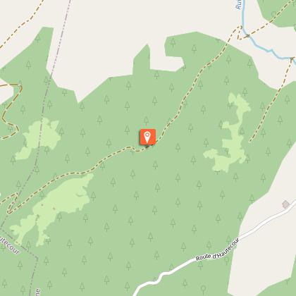
Starting point
Additional information
Updated by
Office de Tourisme de la Grande Plagne - 14/08/2026
www.la-plagne.com
Report a problem
Environments
Forest location
Mountain view
Mountain location
Location complements
Traverser le village de Montgirod jusqu’au panneau directionnel « Route de la Montagne (sentier de l’eau) ». Présence d'un parking à proximité du départ (panneau)
Open period
Closed temporarily.
Type of land
Stone
Ground
Grit
Not suitable for strollers
Contact
Phone : 04 79 55 67 00
Email : info.vallee@la-plagne.com
Website : https://www.la-plagne.com/la-plagne-vallee
Guidebook with maps/step-by-step
0/ Go through the village of Montgirod until you get to the signpost marked "Route de la Montagne (sentier de l’eau)"
1/ Keep going to the parking area (2.5 km). Start from the sign marked "sentier de l’eau".
Animals
Yes
Data author
