Alert
Alerts
Hiking route : Trail to Presset lake and refuge


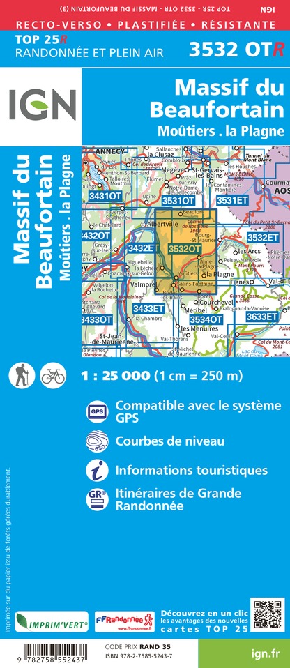
IGN cards


Description
A beautiful hike to a high-altitude lake with a view over the Vanoise massif and the legendary Pierra Menta!
Technical Information
Altimetric profile
Starting point
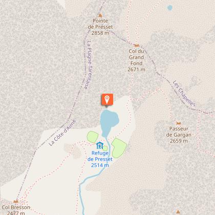
Points of interest


Additional information
Environments
Riverside
Mountain view
Mountain location
Close to GR footpath
Waterside
Updated by
Office de Tourisme de la Grande Plagne - 06/08/2025
www.la-plagne.com
Report a problem
Open period
From 01/06 to 15/10 daily.
Subject to weather conditions.
Type of land
Rock
Stone
Ground
Not suitable for strollers
Contact
Email : si.lacotedaime@free.fr
Reception complements
Safety rules
• Check the weather forecast before you leave.
• Avoid going alone. Tell someone that you are leaving and your planned route.
• Don't forget to drink, eat and take breaks during the hike.
Equipment
• Wear good shoes and clothes that are suitable for the mountains.
• Take with you: sun cream, hat, sunglasses, warm clothes and rain gear, a mobile phone in case of problems.
• Take a map with you. This map is given as an indication, it does not replace the IGN maps.
Good conduct
• Stay on the marked paths and avoid mowed fields.
• Respect the environment.
• Watch out for herds of animals, keep your dog on a lead.
• Please take your rubbish away with you.
In case of accident: 112 or 18
Weather: 32 50
Guidebook with maps/step-by-step
0/ Set off from the car park at St Guérin chapel.
1/ Go to the Refuge de la Balme (signs to Refuge de la Balme).
2/ Take the path to the left in the direction of Refuge de Presset and the lake.
3/ Possibility of continuing to Col du Grand Fond, an additional 100m elevation gain. You go back on the same route.
Animals
Yes
Data author
