Alert
Alerts
The puy of Vichatel

Description
Between moors and woods, this hike plunges visitors into the chaotic world of a volcanic cheire and its characteristic vegetation. The Vache and Lassolas puys and the Ribbe-Haute cave can be seen.
Technical Information
Altimetric profile
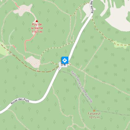
Starting point
Steps
Additional information
Distinctions
Listed PDIPR
Tips
- Maison du Parc des Volcans (château de Montlosier).
- View of the Charmont and Toupe puys, and the Vache and Lassolas puys.
- View of the Sancy and Lake Aydat.
Updated by
Conseil départemental du Puy-de-Dôme - 02/06/2026
www.puydedome-tourisme.com/
Report a problem
Environments
Forest location
Mountain view
Mountain location
Presence of livestock and guard dogs
Open period
From 01/01 to 31/12 daily.
Subject to favorable weather.
Contact
Phone : 04 73 79 37 69
Email : aydat@clermontauvergnevolcans.com
Website : https://www.clermontauvergnevolcans.com
Topo guides and map references
Topo guides references :
2017 - Nature walks - Discovering the Puy-de-Dôme - Conseil départemental du Puy-de-Dôme
Type of land
Ground
Location complements
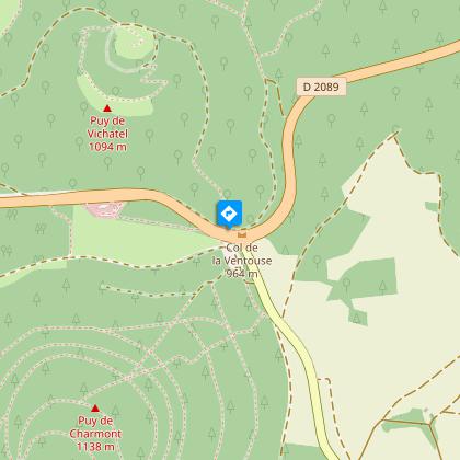
Join the Col de la Ventouse, 20 km S-W of Clermont Ferrand, on the D2089. Continue 300m along the D2089 to find a parking lot and sign on the left for the "Aire du col de la Ventouse, Puy de Vichatel".
Reception complements
For your own safety, always take a bottle of water, a hat, warm clothing and footwear suitable for walking.
Depending on weather conditions, certain itineraries are not recommended in bad weather (fog) or are not practicable, or even forbidden, during the winter season.
Some sites are fragile, so stay on the marked trails. Avoid picking wild flowers and disturbing wildlife. Pick up your garbage.
Animals are not allowed on some routes.
Guidebook with maps/step-by-step
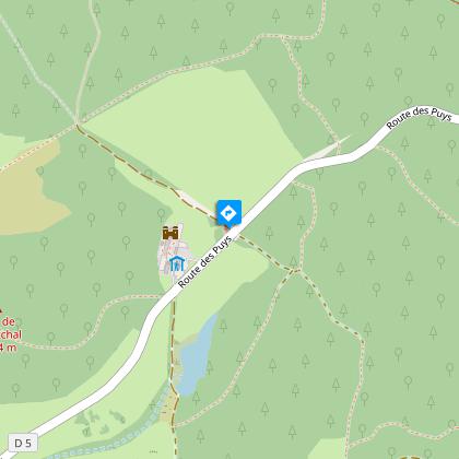
1/ From the start sign near the toilets, climb the log staircase, cross the road (take care), turn left along the road and then into the undergrowth. Continue until you reach a fork.
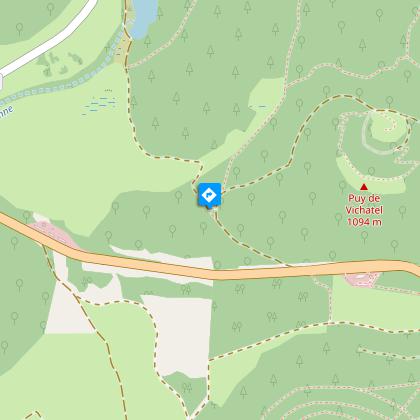
2/ Turn right, then ignore the left-hand path. Climb the side of the puy de Vichatel (views of the puys de Montchal, Pourcharet and Montjuger, then those of La Vache and Lassolas). At the fence, on the edge of the crater, continue to the right, direction "accès au sommet", along a prepared path. Go through a gate. At the highest point (view of the Sancy, Combegrasse and Charmont puys, Lac d'Aydat, Forez mountains). Begin the descent, passing through the gate on the left, signposted "accès au cratère" (access to the crater). Pass another gate and turn right to reach the last gate. Go through it to the nearby intersection.
3/ Turn right and continue downhill to a T-junction near the road. Turn right and return to the start via the crosswalk.
Proposed and managed by the Conseil départemental du Puy-de-Dôme - PDIPR.
Animals
Yes. Dogs must be kept on a leash due to the presence of herds.
Data author
