LE SAINT AULIN
Description
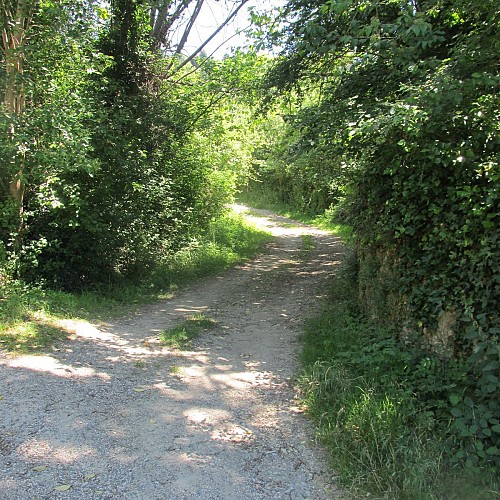
This easy and pleasant path, in the form of a loop, marked white and red then yellow, will lead you near the Croix de Terride which marks the crossroads of several paths including one would be an old Roman road.
Technical informations
7.6 km
|
max. 409 m
min. 294 m
432 m
| |||||||||
Style : In the country Public : Family | ||||||||||
Altimetric profile
Starting point
Steps
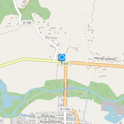
Starting point
Take the D625 in the direction of Villefranche de Lauragais and turn right at the first intersection. Follow the road for 100 metres, and then continue to the right towards the hamlet of bartas. At the bend, leave the road and follow the red and white markers of the GR7 which will lead you to the Croix (Cross) de Terride.
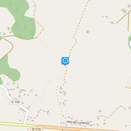
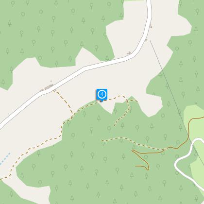
Step 2
At the Croix de Terride, leave the GR7 markers and follow, on the left, the yellow markers of the agricultural track as far as the foot of a wooded hillside chere it then goes into the trees. Take the time to admire the view of the Pyrénées and notably the Tabe massif, the first visible relief.
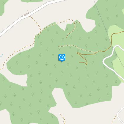
Step 3
After climbing up through the undergrowth, follow follow the path which descends to the left, always in the undergrowth.
Step 4
The path skirts a pine forest and a small body of water before skirting the stream of Estrique, located a hundred meters below. The path leading to the D106 climbing to the hamlet of Saint-Aulin that you see now.
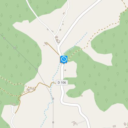
Step 5
At the intersection with the road, do not climb at Saint-Aulin, but take the road to the left to reach the hamlet of Bartas, then the starting point located approximately 2,5 km.
Additional information
To see
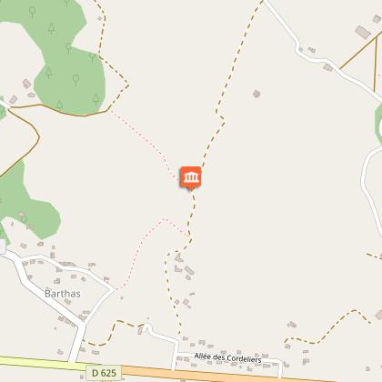
The château of Terride :
The Château de Terride was originally a feudal castle (constructed in the 10th century). Simon de Montfort seized it in 1209 during the crusade. The first settlement of Mirepoix was situated on the left bank on the same side as the fortress called at the time "de Mirapey" and it was only in 1563 that the castle took the name of Terride. This name comes from the Terride barony, given to jean de Lévis as a dowry by his wife. Independently of it's own strenght had immense strategic advantage, as it controlled the road which led from Castelnaudary to the market town of Mirepoix, and, from there to Foix.
The Croix of Terride :
The Croix de Terride marks the meeting of several paths that would not be an old Roman road going to the hamlet of Bize. The stone, slightly curved shape, would come from a keystone of the castle of Terride. "
Data author
