Alert
Alerts
Type of practice
Walking
Medium
6h
Presentation
Description
Map
Ratings and reviews
See around
Trail ultra of the farmhouse-inns
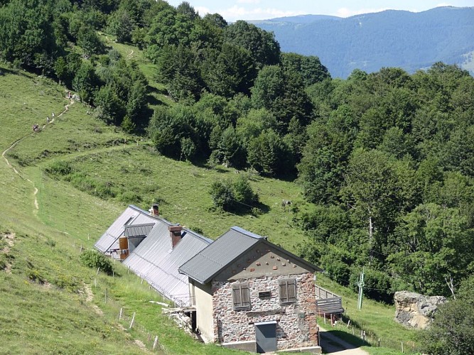
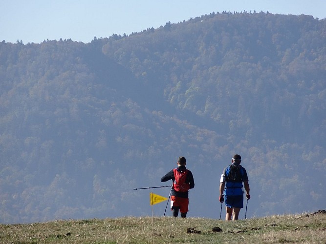
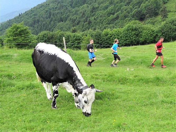
Credit : ©Philippe_Beaud
Description
A high level path which crosses the high stubble fields and the farmhouse-inns / refuges of the Thannerhubel and the Rossberg. A difficult trail which plunges in the Doller and Thur valleys and then takes climbs the summits of the Vosges mountains.
Technical Information
Walking
Difficulty
Medium
Duration
6h
Dist.
47 km
Type of practice
Walking
Medium
6h
Show more
Altimetric profile
Starting point
Col du Hundsruck
,
68290
Bourbach-le-Haut
Lat : 47.80654Lng : 7.04272
Additional information
Contact
Tel : 03 89 37 96 20
Email : info@tourisme-thann-cernay.fr
Data author

proposed by
Office de tourisme de Thann-Cernay
7 rue de la 1ère Armée 68800 Thann France
Ratings and reviews
To see around