Alert
Alerts
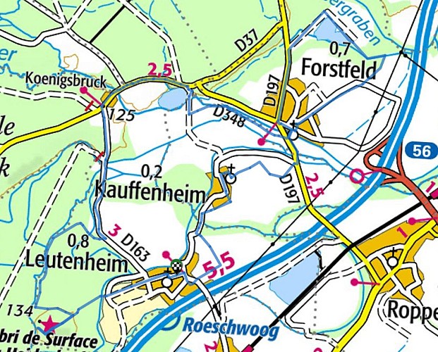
Walking tour: Between Eberbach and Sauer
Description
Departure in Leutenheim: at the Town Hall, rue Principale. Marked out and with little difference in altitude, this loop circuit can be followed indifferently in each direction. To the west, he walks through the forests bordering that of Haguenau. It is a special protection area "Natura 2,000", extending from the Heidenberg mound in the south, with its Maginot Line shelter, to the hamlet of Koenigsbruck in the north. As of the In the 12th century, at the crossroads of the river with the ancient Roman road leading to Seltz, there was a Cistercian abbey of women, with all its outbuildings, including a mill, and small houses for the staff serving the monastery.
The abbey was looted during the Peasants' War and then during the Thirty Years' War and completely destroyed during the French Revolution. A sawmill has replaced the mill. The Sauer passes through this place. This river comes from the Palatinate, crosses the northern Vosges and the Haguenau forest and accompanies you to Forstfeld, one of the three villages that, together with Kauffenheim and Leutenheim, dot the North Ried plain in an almost perfect alignment.
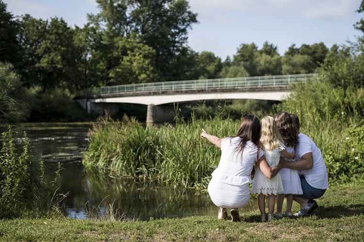
Here you are in a flat landscape, with meadows, fields and woods, gravel pits, ponds and ditches.
Forstfeld was already occupied in the early Iron Age and then in Roman times. At the northern end of the circuit, you walk along the Forstfeld alder forest, a "reserved biological reserve".
To the south of this village, another river joins the Sauer: it is the Eberbach, a forest river that drains the water table of the Haguenau forest and that your tour runs along its right bank from Kauffenheim to Leutenheim. The small village of Kauffenheim has beautiful half-timbered houses, typical of the North level, with street gable, hipped roof, awning belt and half-timbering to the ground. The church dates back to the 12th century. Then, just a stone's throw away, Leutenheim also offers you beautiful half-timbered houses.
Route description: ignrando.fr/fr/parcours/83925-pr-7-entre-eberbach-et-sauer
Technical Information
Altimetric profile
Starting point
Additional information
Contact
Tel : 03 88 86 74 90
Email : accueil@ot-paysrhenan.fr
Site web : ignrando.fr/fr/parcours/83925-pr-7-entre-eberbach-et-sauer/
Data author
