Alert
Alerts
Type of practice
Mountainbiking
Medium
5h
Presentation
Description
Map
Ratings and reviews
See around
Circuit VTT n°7

Credit : Alain KAUFFMANN / Patrick SCHMITT OTVA
IGN cards
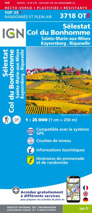
3718OTR - SÉLESTAT COL DU BONHOMME RESISTANTE SAINT-MARIE-AUX-MINES KAYSERSBERG RIQUEWIHR
Editor : IGN
Collection : TOP 25 RÉSISTANTE
Scale : 1:25 000
17.20€
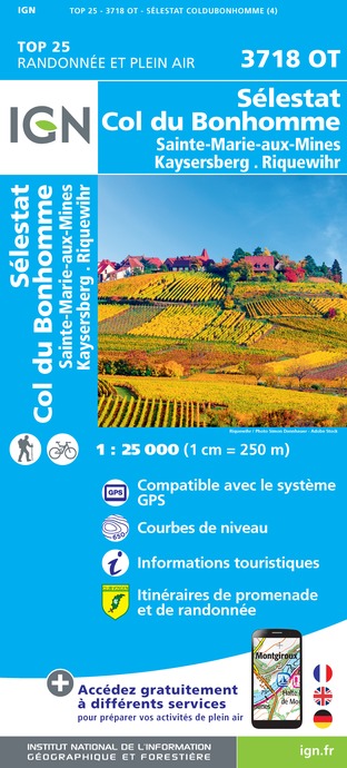
3718OT - SÉLESTAT COL DU BONHOMME SAINTE-MARIE-AUX-MINES KAYSERSBERG RIQUEWIHR
Editor : IGN
Collection : TOP 25 ET SÉRIE BLEUE
Scale : 1:25 000
13.90€
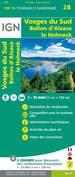
TOP75028 - VOSGES DU SUD BALLON D'ALSACE LE HOHNECK
Editor : IGN
Collection : TOP 75
Scale : 1:75 000
9.80€

VEL04 - L'ALSACE A VELO
Editor : IGN
Collection : DECOUVERTE A VELO
Scale : 1:110 000
9.10€
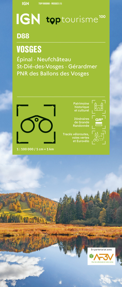
TOP100D88 - VOSGES ÉPINAL NEUFCHÂTEAU ST-DIÉ-DES-VOSGES GÉRARDMER PNR DES BALLONS DES VOSGES
Editor : IGN
Collection : TOP 100
Scale : 1:100 000
8.40€
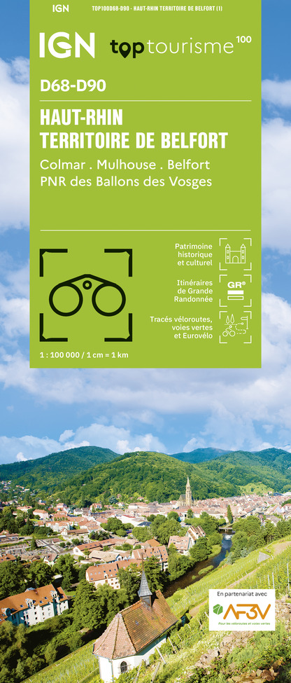
TOP100D68 - HAUT-RHIN TERRITOIRE DE BELFORT COLMAR MULHOUSE BELFORT PNR DES BALLONS DES VOSGES
Editor : IGN
Collection : TOP 100
Scale : 1:100 000
8.40€

TOP100D67 - BAS-RHIN STRASBOURG HAGUENAU SÉLESTAT PNR DES VOSGES DU NORD
Editor : IGN
Collection : TOP 100
Scale : 1:100 000
8.40€

201 ALSACE MASSIF DES VOSGES
Editor : IGN
Collection : TOP 200
Scale : 1:200 000
6.80€
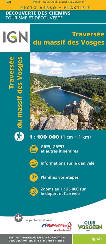
89032 - LA TRAVERSEE DES VOSGES
Editor : IGN
Collection : DECOUVERTE DES CHEMINS
Scale : 1:100 000
9.10€
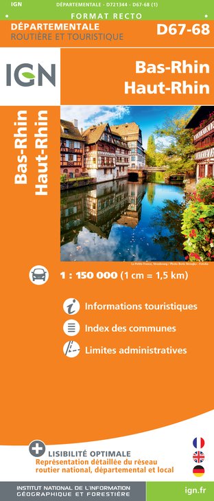
D67-68 BAS-RHIN HAUT-RHIN
Editor : IGN
Collection : CARTES DÉPARTEMENTALES IGN
Scale : 1:150 000
5.90€

D70-88-90 HAUTE-SAÔNE VOSGES TERRITOIRE DE BELFORT
Editor : IGN
Collection : CARTES DÉPARTEMENTALES IGN
Scale : 1:150 000
5.90€

EUROPE
Editor : IGN
Collection : DÉCOUVERTE DES PAYS DU MONDE IGN
Scale : 1:2 500 000
7.00€

ALLEMAGNE
Editor : IGN
Collection : DÉCOUVERTE DES PAYS DU MONDE IGN
Scale : 1:800 000
7.00€
Description
"Le Tour du Brézouard"
Level: Difficult
Distance: 19.4 km
Cumulative elevation gain: 527m
All the joy of the Rehberg circuit intensified: scenery, atmosphere, elevation gain, distance... what more could you ask for... if not energy to finish this memorable circuit!!!
Technical Information
Mountainbiking
Difficulty
Medium
Duration
5h
Dist.
19 km
Type of practice
Mountainbiking
Medium
5h
Show more
Altimetric profile
Starting point
68160
Sainte Marie aux Mines
Lat : 48.1926109Lng : 7.1139587
Additional information
Contact
Tel : 03 89 58 80 50
Email : tourisme@valdargent.com
Site web : www.valdargent-tourisme.fr
Data author

proposed by
Office de tourisme du Val d'Argent
place du Prensureux 68160 Sainte-Marie-aux-Mines France
Ratings and reviews
To see around