Alert
Alerts
Type of practice
Walking
Very easy
1h
Presentation
Description
Map
Ratings and reviews
See around
Bunker Trail - Bettlach
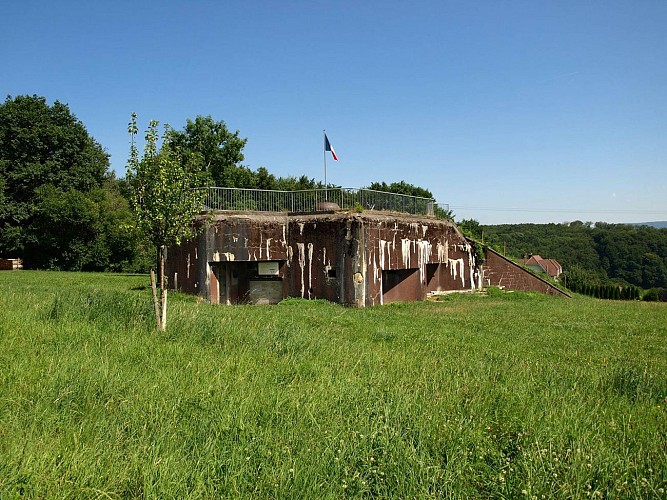
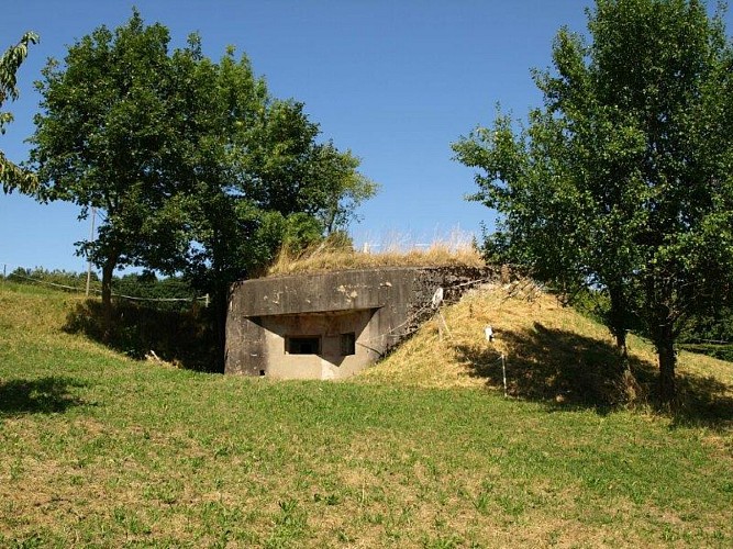
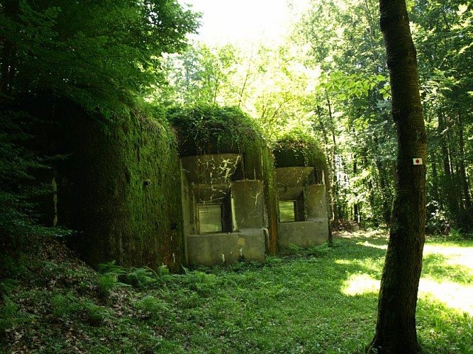
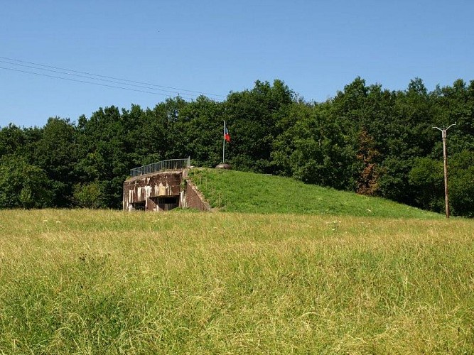
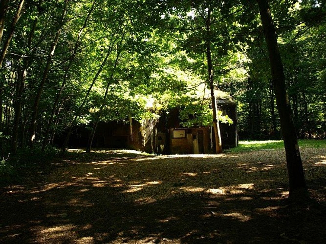
Credit : Vianney MULLER
Description
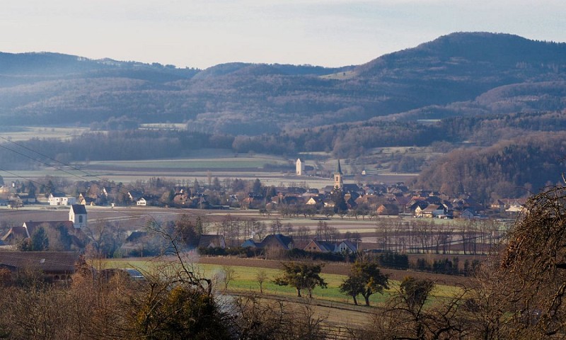
2 km path in Bettlach forest links three imposingMaginot Line forts, built between 1937 and1940. Explanatory panels relate the history ofthe Maginot Line, the colossal effort requiredand the ephemeral role it played at the startof WW2. Longer route available (7.6 km ; 3.5hours.) Route map on sale at the Office of Tourism, Departure fromBettlach Town Hall
Technical Information
Walking
Difficulty
Very easy
Duration
1h
Dist.
1.3 km
Type of practice
Walking
Very easy
1h
Show more
Altimetric profile
Starting point
68480
Bettlach
Lat : 47.5106881Lng : 7.4161732
Additional information
Contact
Tel : 03 89 08 23 88
Email : info@sundgau-sudalsace.fr
Data author

proposed by
Office de Tourisme du Sundgau Sud Alsace
Ratings and reviews
To see around