Alert
Alerts
Type of practice
Walking
Very easy
1h
Presentation
Description
Map
Ratings and reviews
See around
Champ du feu footpath
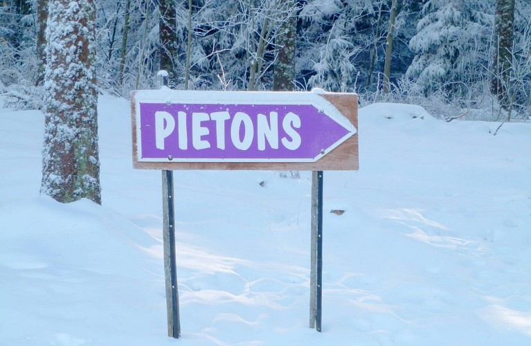
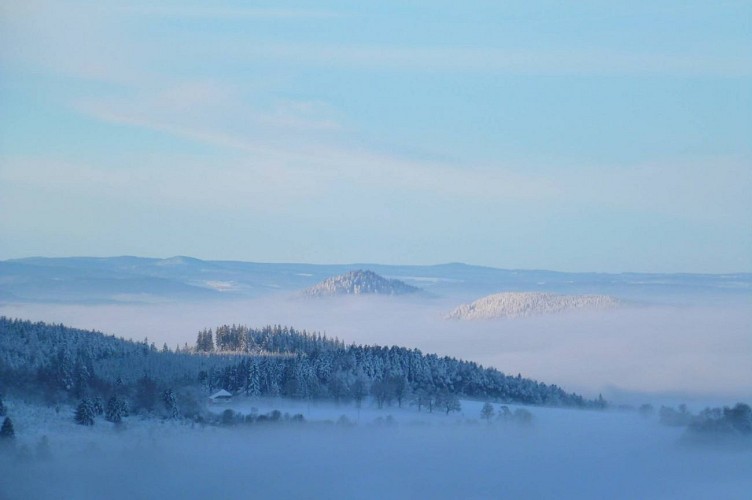

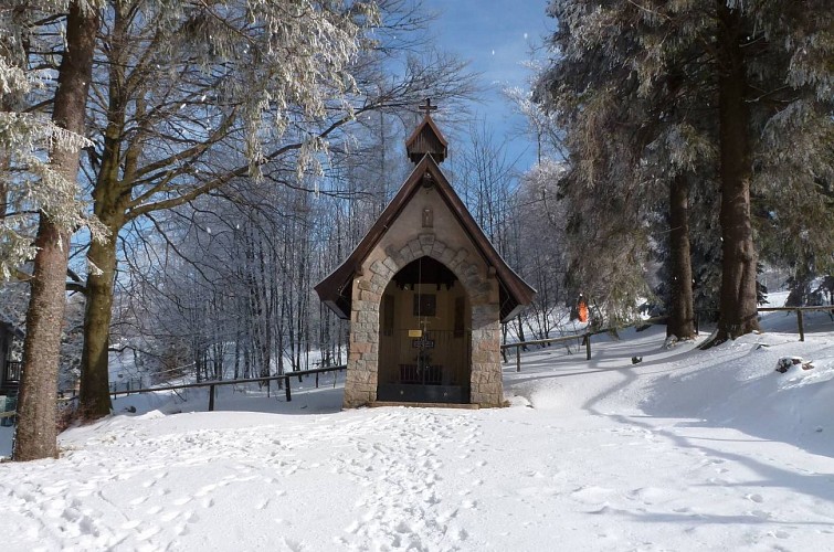
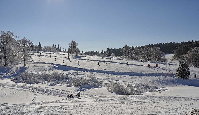
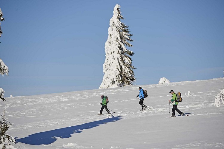
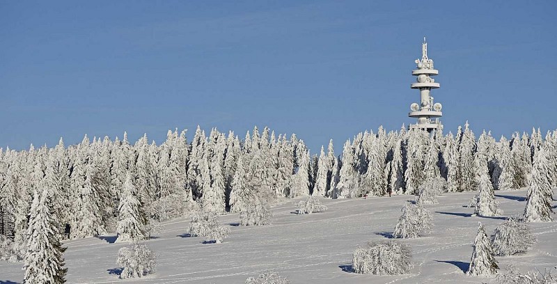
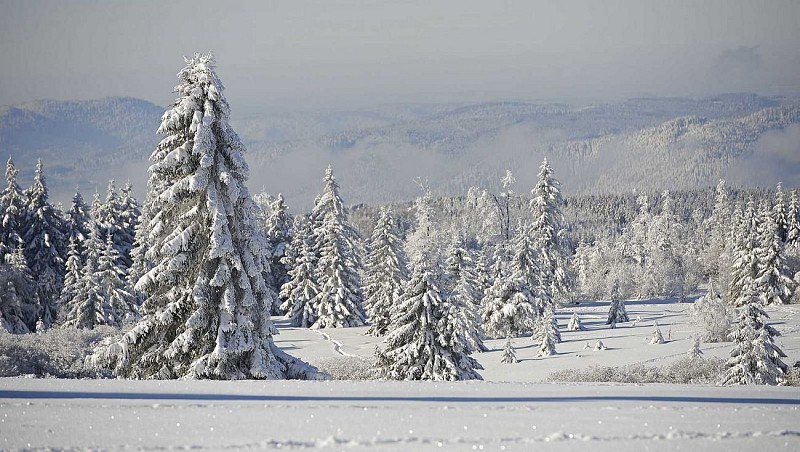
Credit : Sentier piéton, Champ du Feu © OTVB
Description
Champ du Feu is the highest point of the Bas-Rhin at 1099m. Its altitude grassland and domed peatlands create a natural space that is fragile and exceptional in equal measure. Discover this natural area along this signposted walking route. This public route is only open and signposted during the winter season (late December to late February).
Technical Information
Walking
Difficulty
Very easy
Duration
1h
Dist.
5 km
Type of practice
Walking
Very easy
1h
Show more
Altimetric profile
Starting point
67130
Belmont
Lat : 48.40732Lng : 7.25779
Additional information
Contact
Tel : 03 88 47 18 51
Email : tourisme@valleedelabruche.fr
Site web : www.rando-bruche.fr/fr/tous-les-itineraires-de-la-vallee/f215003333_sentier-pieton-du-champ-du-feu-belmont.html
Data author

proposed by
Office de tourisme de la valle de la Bruche
114 GRAND'RUE 67130 SCHIRMECK France
Ratings and reviews
To see around