Alert
Alerts
Type of practice
Walking
Very easy
2h
Presentation
Description
Map
Ratings and reviews
See around
Hiking trail to the hills of Rosenwiller

Credit : ©OTMM
IGN cards
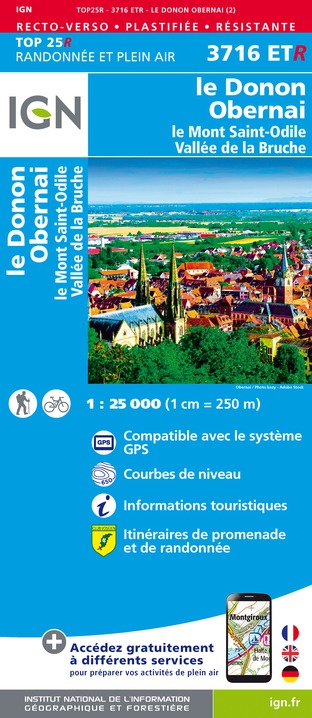
3716ETR - LE DONON OBERNAI RESISTANTE MONT SAINTE-ODILE VALLÉE DE LA BRUCHE
Editor : IGN
Collection : TOP 25 RÉSISTANTE
Scale : 1:25 000
17.20€
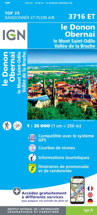
3716ET - LE DONON OBERNAI LE MONT SAINT-ODILE VALLÉE DE LA BRUCHE
Editor : IGN
Collection : TOP 25 ET SÉRIE BLEUE
Scale : 1:25 000
13.90€
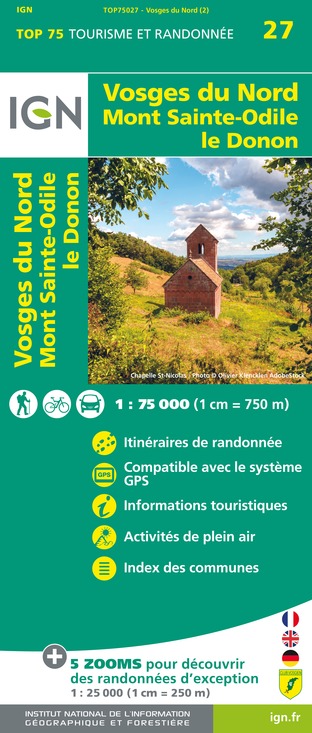
TOP75027 - VOSGES DU NORD MONT ST ODILE LE DONON
Editor : IGN
Collection : TOP 75
Scale : 1:75 000
9.80€

VEL04 - L'ALSACE A VELO
Editor : IGN
Collection : DECOUVERTE A VELO
Scale : 1:110 000
9.10€

TOP100D67 - BAS-RHIN STRASBOURG HAGUENAU SÉLESTAT PNR DES VOSGES DU NORD
Editor : IGN
Collection : TOP 100
Scale : 1:100 000
8.40€
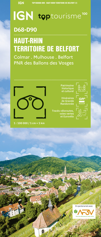
TOP100D68 - HAUT-RHIN TERRITOIRE DE BELFORT COLMAR MULHOUSE BELFORT PNR DES BALLONS DES VOSGES
Editor : IGN
Collection : TOP 100
Scale : 1:100 000
8.40€

TOP100D57 - MOSELLE METZ THIONVILLE PNR DE LORRAINE PNR DES VOSGES DU NORD
Editor : IGN
Collection : TOP 100
Scale : 1:100 000
8.40€

201 ALSACE MASSIF DES VOSGES
Editor : IGN
Collection : TOP 200
Scale : 1:200 000
6.80€
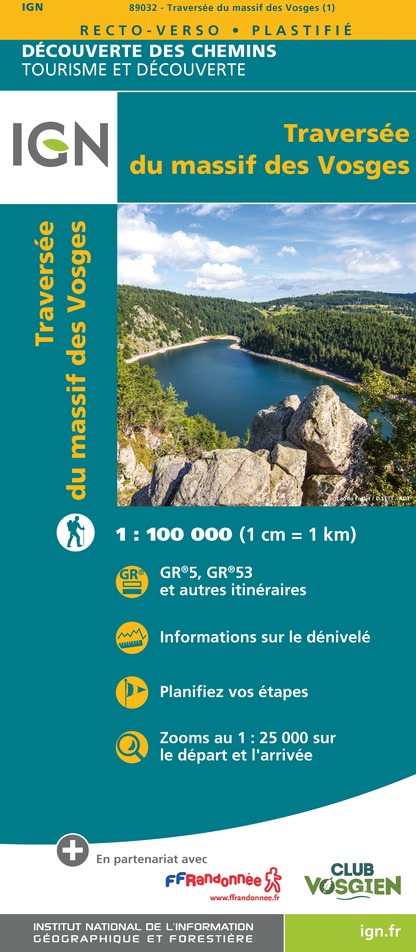
89032 - LA TRAVERSEE DES VOSGES
Editor : IGN
Collection : DECOUVERTE DES CHEMINS
Scale : 1:100 000
9.10€

88412 - STRASBOURG ET SES ENVIRONS
Editor : IGN
Collection : DÉCOUVERTE DES VILLES
Scale : 1:80 000
5.70€
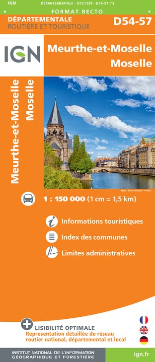
D54-57 MEURTHE-ET-MOSELLE MOSELLE
Editor : IGN
Collection : CARTES DÉPARTEMENTALES IGN
Scale : 1:150 000
5.90€

D70-88-90 HAUTE-SAÔNE VOSGES TERRITOIRE DE BELFORT
Editor : IGN
Collection : CARTES DÉPARTEMENTALES IGN
Scale : 1:150 000
5.90€
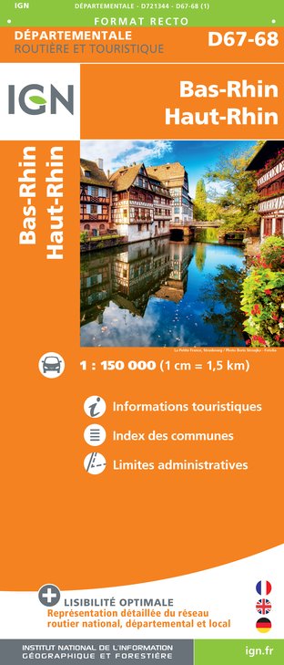
D67-68 BAS-RHIN HAUT-RHIN
Editor : IGN
Collection : CARTES DÉPARTEMENTALES IGN
Scale : 1:150 000
5.90€

ALLEMAGNE
Editor : IGN
Collection : DÉCOUVERTE DES PAYS DU MONDE IGN
Scale : 1:800 000
7.00€

EUROPE
Editor : IGN
Collection : DÉCOUVERTE DES PAYS DU MONDE IGN
Scale : 1:2 500 000
7.00€
Description
It's a leisurely walk to the Rosenwiller Hills where a 12-panel interpretive trail reveals a magnificent natural heritage.
Technical Information
Walking
Difficulty
Very easy
Duration
2h
Dist.
9.8 km
Type of practice
Walking
Very easy
2h
Show more
Altimetric profile
Starting point
67190
Gresswiller
Lat : 48.53285Lng : 7.42962
Additional information
Contact
Tel : 03 88 38 11 61
Email : infos@ot-molsheim-mutzig.com
Data author

proposed by
Office de tourisme de Molsheim Mutzig
19 place de l'Hôtel de ville 67120 Molsheim France
Ratings and reviews
To see around