Alert
Alerts
Type of practice
Walking
Easy
3h30mn
Presentation
Description
Map
Ratings and reviews
See around
Hiking trail C25: The ponds of Salm and the peat bog of la Maxe
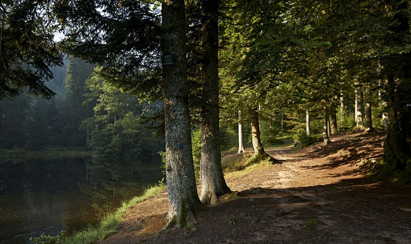
Credit : © OTVB / Stéphane SPACH
Description
This 12km walk at an altitude of 600 m, starting from the Cuckoo's pond, leads you through a shaded valley near the Maxe peat bog and the Raspberry pond. You will discover all along the river a luxuriant nature partially protected, of which it will be necessary to be attentive and respectful.
Technical Information
Walking
Difficulty
Easy
Duration
3h30mn
Dist.
12 km
Type of practice
Walking
Easy
3h30mn
Show more
Altimetric profile
Starting point
67130
Grandfontaine
Lat : 48.454115Lng : 7.130312
Additional information
Contact
Tel : 03 88 47 18 51
Email : tourisme@valleedelabruche.fr
Site web : www.rando-bruche.fr/fr/tous-les-itineraires-de-la-vallee/f215004744_circuit-rando-c25-les-etangs-de-salm-et-la-tourbiere-de-la-maxe-grandfontaine.html
Data author

proposed by
Office de tourisme de la valle de la Bruche
114 GRAND'RUE 67130 SCHIRMECK France
Ratings and reviews
To see around