Alert
Alerts
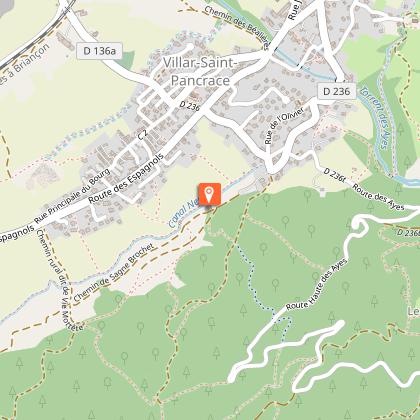
N°62 Rouge Mélézin
Description
A sporty loop between undergrowth and lakes. Interesting descent.
Leave the mountain center and return to the parking lot.
Turn right up the small road.
Turn left onto the track leading to the hamlet of Les Ayes.
Continue as far as Lac de l'Orceyrette and return along the same route.
In the hairpin bend before the bridge over Les Ayes, go straight on up to Le Mélézin.
Descend into the Bois du Villard on a beautiful, technical, winding descent.
At Lauzin, turn left to reach the mountain center.
Technical Information
Altimetric profile
Starting point
Additional information
Updated by
Office de tourisme des Hautes Vallées - La Grave - La Clarée - L'Izoard - 24/06/2025
www.hautesvallees.com/la-grave/
Report a problem
Reception complements
Hard
Data author
