Alert
Alerts
Liaison douce de La Souterraine à Bridiers
Description
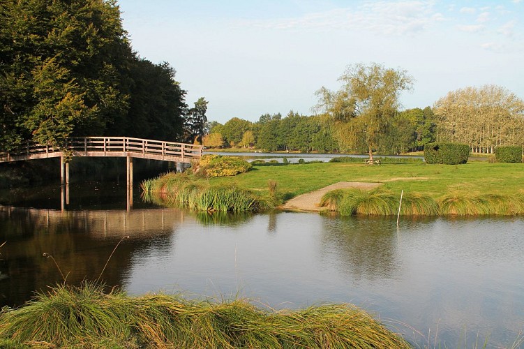
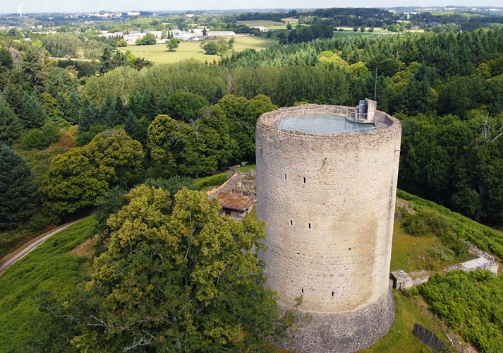
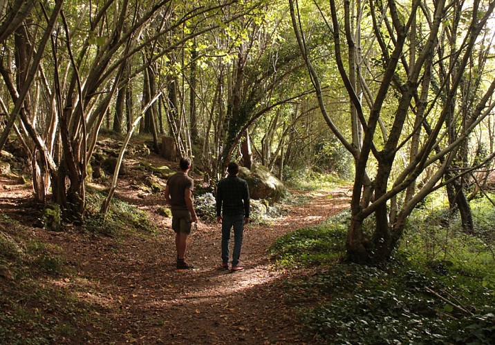
This immersive trail of just over 3 kilometers leads from the church gate to the medieval site of the Château de Bridiers, via narrow streets and lanes, skirting the beautiful Etang du Cheix. Milestones mark the route at regular intervals.
Technical Information
Altimetric profile
Starting point
Additional information
Contact
Fixed telephone : +33 5 55 89 23 07
Service Tourisme du Pays Sostranien
e-mail : tourisme-la-souterraine@cco23.fr
Service Tourisme du Pays Sostranien
Balisage
Borne en pierre avec applique métallique. Balisé GR de l'église jusqu'à l'étang.
Typologie de l'itinéraire
Walking trail
Hiking Route (GR®)
Thèmes
Historical
Durée moyenne de l'expérience
1 to 2 hours
Equipements
Picnic area
Ablutions
Ablutions
Information panels
Picnic area
Animaux bienvenus ?
Oui
Data author
