Boucle du Phare de Richard à VTT


Description
Discover the commune of Jau Dignac et Loirac, a former island in the Gironde estuary.
At the bend in the path you might spot the Green Lizard Lacerta Viridis basking in the sun or a European Cistude Ernis Orbicularis...
A nature walk along the dykes with views over the Gironde Estuary, the polders, marshes, channels and Richard's harbour.
From the top of the 18-metre-high Richard lighthouse-museum, you can enjoy an impressive 360° view.
Technical Information
Altimetric profile
Starting point
Steps
From the car park to the fish market
Leave the car at the Richard lighthouse car park. At the picnic area, climb the dyke and follow it on your left. Go towards the nearest small fishing hut (on your right). You are now in front of a fishing hut.
Dignac
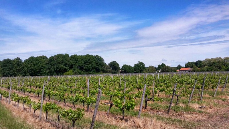
At the end of the path, turn left onto the road leading to Dignac. You will be at the highest point of your walk. Continue straight ahead on the Chemin de Perey as far as the stop sign and take the road opposite. On leaving Dignac, follow the D103E3. At the crossroads, turn left and then right at the sign "chemin du port de Richard" to head towards the port through the vineyards. Continue straight ahead.
From Port de Richard to La Chapelle
At the end of this road, turn right onto the D2 as far as the Richard channel. Once you reach the port, you can continue straight on for 500m to discover the archaeological site of the chapel, which is rich in history!
From port to lighthouse
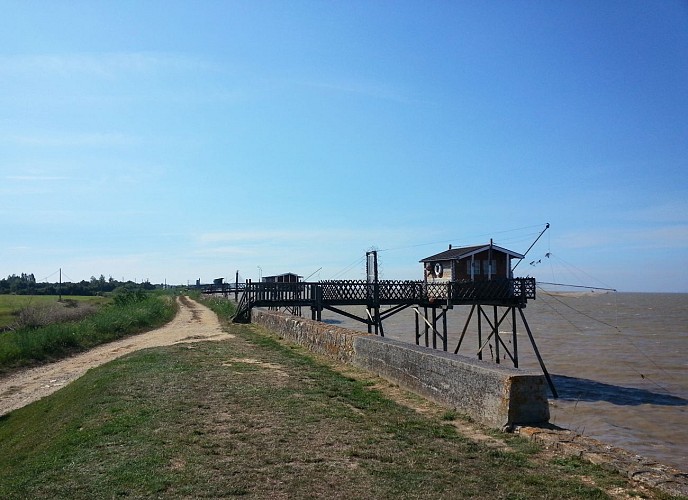
Retrace your steps to reach the port of Richard, walk past the huts and follow the Richard channel along the cordon. At the end, turn right onto the "beach" and follow the dike. All along the way, you will see a number of "carrelets" (small fishing nets). Keep your eyes peeled - you never know when you might see fishermen in action, and if you're lucky, they might even show you the inside of their charming little fishing huts! Walk up to the lighthouse and admire this very special landscape, home to all kinds of animals.
Points of interest

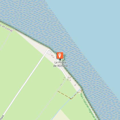
Richard lighthouse
Originally, a tree planted on the shore served as a guide for sailors. This tree was known as Richard's tree. In the early 19th century, the tree was felled by a storm. An 18-metre-high cylindrical lighthouse was built in 1843. The height of this lighthouse proved insufficient and a second lighthouse was erected nearby in 1870. It was made entirely of metal and was 31 metres high. The lighthouse ceased operations in 1953. Thirty years later, in 1983, the commune of Jau-Dignac-Loirac bought the Richard lighthouse and set about restoring it, turning it into a much-appreciated tourist and cultural attraction. The beautiful story of the Richard lighthouse continues for our pleasure.

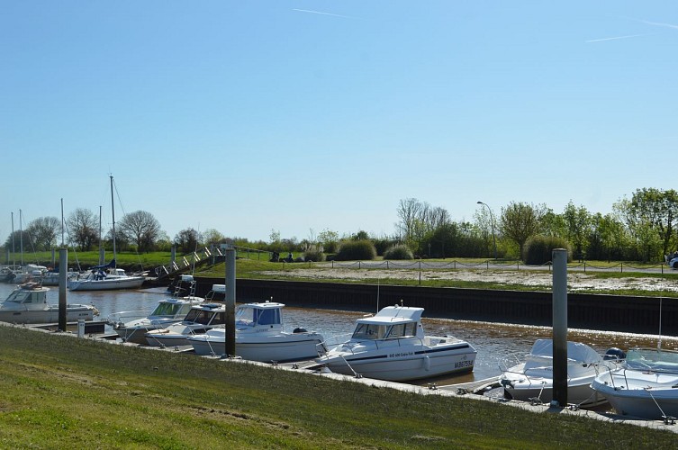
The port of Richard
Like most of the small ports in the Lower Médoc, it was created between 1850 and 1880 at the mouth of the drainage channels following the damming of the mattes, commissioned from Dutch engineers. The port of Richard, like that of Goulée, became a platform for the preparation and transfer of spat, young oysters fished in the estuary for subsequent rearing in the Arcachon basin. Prohibited in 1979, the marketing of oysters is once again possible.

The carrelets
Fishermen's huts, with their feet in the water, built of wood on stilts and linked to the cliff by a pontoon. The large square net, suspended from a mast, is lowered and raised using a winch with counterweights. Carrelets are found along the Gironde estuary and the Charente coastline. Pontoon-built carrelets were badly affected by the storms of December 1999 and February 2010. Many carrelets have been rebuilt in accordance with very strict rules governing materials, colours, surface area, etc.
The Diguayres stele
Near the Richard lighthouse, a small monument, a sign fixed to a small stone wall, stands out. It is the "Stèle des Diguayres", which "honours the generations of men who, for four centuries, have worked to clean up the Nord Médoc and defend their land".
Additional information
Typologie de l'itinéraire
Loop
Thèmes
Natural
Contact
Web site (URL) : www.jau-dignac-loirac.com/
Data author
