Alert
Alerts
Type of practice
Walking
Presentation
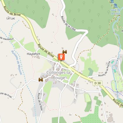
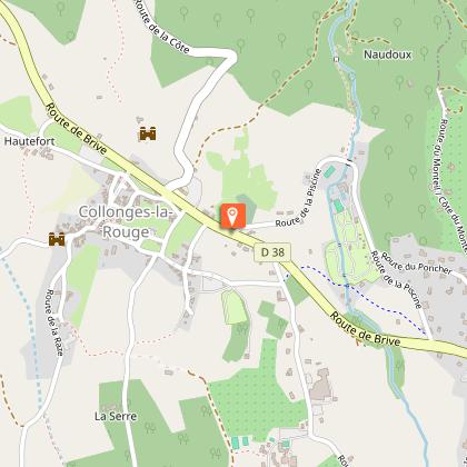
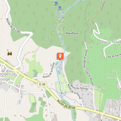
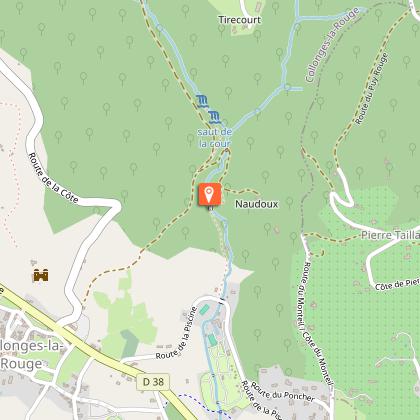
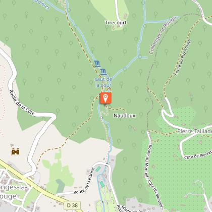
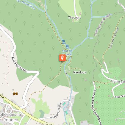
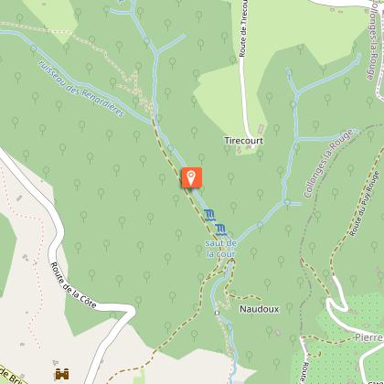
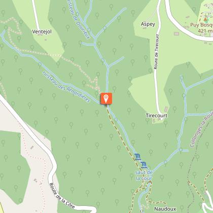
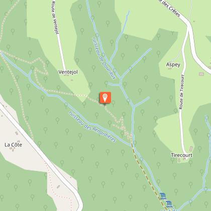
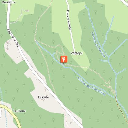
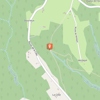
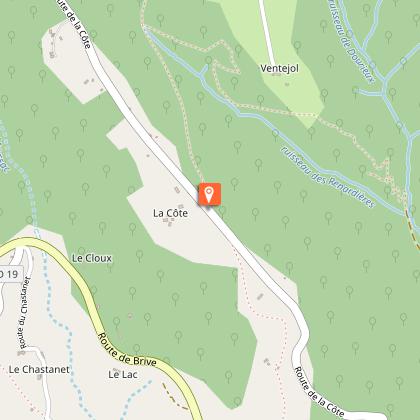
Map
Steps
Ratings and reviews
See around
Le sentier des sources


Technical Information
Walking
Difficulty
Not specified
Dist.
5.8 km
Type of practice
Walking
Show more
Altimetric profile
Starting point
Ancienne gare - au bord de la D38
,
19500
COLLONGES-LA-ROUGE
Lat : 45.0616267Lng : 1.65579437
Steps

Additional information
Balisage
Yellow
Contact
Fixed telephone : 05 65 33 22 00
Web site (URL) : www.vallee-dordogne.com
e-mail : info@vallee-dordogne.com
Data author

proposed by
Corrèze Tourisme
9 rue René et Émile Fage - Bat F – 4ème étage - BP 199 19005 TULLE Cedex France
Ratings and reviews
To see around