Alert
Alerts
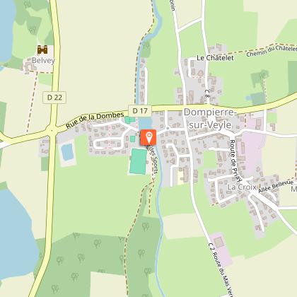
The eight for strolling
Description
Walking tour around Dompierre-sur-Veyle.
Distance / Duration : 5,8km (1h20min)
To see: Water level / Bridges on the Veyle.
Country path on the edge of the woods.
Technical Information
Altimetric profile
Starting point
Additional information
Environments
Lakeside or by stretch of water
Lakeside or by stretch of water
In the country
Updated by
Bourg-en-Bresse Destinations - Office de tourisme - 23/02/2026
www.bourgenbressedestinations.fr
Report a problem
Open period
All year round.
Contact
Phone : 04 74 22 49 40
Email : accueil@bourgenbressedestinations.fr
Website : https://www.bourgenbressedestinations.fr
Facebook : https://www.facebook.com/BourgenBresseTourisme
