Alert
Alerts
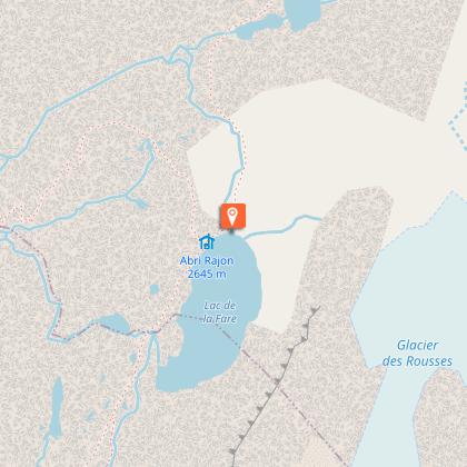
Summer hike : Lac de la Fare
Description
Take 1500 meters of altitude in a few minutes thanks to the cable cars and go off to discover the glacial lakes. A peaceful and silent nature where time seems frozen.
Technical Information
Altimetric profile
Starting point
Additional information
Updated by
Office de Tourisme de Vaujany - 11/03/2026
www.vaujany.com/fr/
Report a problem
Environments
Mountain view
Mountain location
Topo guides and map references
Topo guides references :
Lien carte OBP n°6 : 263
Map references :
IGN TOP : 25 n°3335 EST
Open period
From 04/07 to 31/08/2026 daily.
Type of land
Rock
Ground
Contact
Phone : 04 76 80 72 37
Email : info@vaujany.com
Website : https://www.vaujany.com/fr/
Guidebook with maps/step-by-step
Departure from the Vaujany cable car station. Take the ski lifts of Alpette then the Domes des Petites Rousses (ticket for sale in cash on site). The marked path is visible right out of the gondola. Enjoy the fresh air of the south and north facing road.
Animals
Yes
Data author
