Alert
Alerts
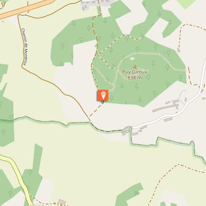
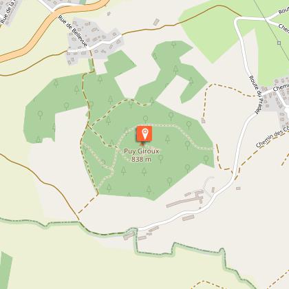
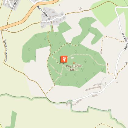
Opme_le puy giroux_apres 2020_allonge_06km

Description
Parcours balirando après 2020, balisage papillons jaunes légèrement allongé pour faire 6km
Parcours avant 2018/2020, passait au Nord du Puy Giroux.
Mais même point de départ:
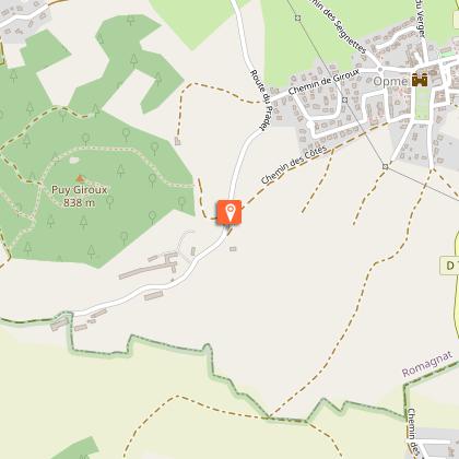
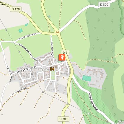
Départ: Monter la rue du maréchal de Lattre de Tassigny, passer devant l'entrée du château (Église, croix, lavoirs, fontaines) et continuer par le chemin de Giroux, puis à droite par le chemin des Seignettes, jusqu'à un croisement en T, sous la ligne à haute tension.
Technical Information
Altimetric profile
Starting point
Additional information
Données de référence
Chamina Le Puy De Dôme (2009) N°33 (obsolète)
Balirandob: ali_iti0057_opme_le puy giroux_apres 2020_05km
Mais modifié pour 6km
Parking / Point de départ:
Parking / Départ: Opme / Romagnat, 63540, 12 Rue Maréchal de Lattre de Tassigny
GPS: 45.7080, 3.0914
Nom du fichier à l'impression
Ign-Rando_2291797_opme_le puy giroux_bali-2020_allonge_06km
Data author
