Alert
Alerts
Villages Troglodytiques


Description
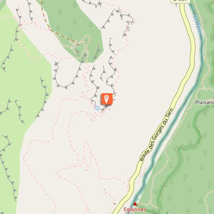
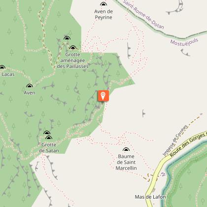
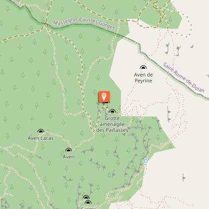
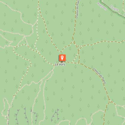
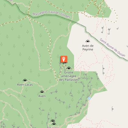
Between sky and earth, wander around on the cliffs of the Gorges du Tarn and gain some hight! Between the Griffon vultures and troglodyt hamlets prepare for suprising discoveries.Go towards the town center of the village Liaucous and come down on the cobblestone street then across the alleys to join the road on the left side and follow on about 500m.Take the path on the left that goes into the woods alongside the hill slope under the Roc des Agudes.Go through the hamlet of Eglazines under the cliff edge. This track goes to the cirque of Saint-Marcellin.Arrive at the hamlet of Saint-Marcellin and continue on the track up to the causse de Sauveterre. Pass the cross and follow on about 200m.Get on the track on the leftside towards the fountain des Paillasses (drinking water source). Follow on the left the "caussenard" path.At the crossroads, come off the path on the right towards Vors and foward the track on the left until the junction with the path of Eglazines. Turn off towards South in direction of Puech about 800m. Leave the path and turn right onto the track going into the forest. This track goes along the cliff and passes below the via ferrata before regaining the village of Liaucous.
Technical Information
Altimetric profile
Starting point
Steps
Points of interest


Additional information
Public transport
Fiches horaires TER OccitanieSélectionner la ligne fiche horaire de la ligne Bézier-Millau-Clermont-Ferrand--Se déplacer en bus ou en train : lio.laregion.fr/covoiturage : BlaBlaCar, Rézo Pouce, Mobicoop, Idvroom, LaRoueVerte, Roulezmalin
Advice
Prenez de bonnes chaussures de marche, un chapeau et de l'eau en quantité suffisante.
Is in the midst of the park
This itinerary is located in the World Heritage zone Causses and Cévennes, mediterranean agropastoral cultural landscape.
Advised parking
Parking de la Via Ferrata.
Access
21 km (13 miles) North-east of Millau, take the direction of Aguessac on the D809 then follow the sign Le Rozier on the D907.Few miles before Le Rozier, turn left at the crossroads on the D192 until Liaucous and follow the indications Parking via ferrata.
Arrival
Behind the church in Liaucous
Ambiance
At the end of the causse de Sauveterre, travel along stunning landscapes between Scots pines and the canyon of the river Tarn.Discover the hamlets of Eglazines and Saint-Marcellin, astonishing troglodytic habitats.
Departure
Parking Via ferrata at Liaucous
Data author
