Alert
Alerts
Le tour des hameaux - Hiking from Les Cours
1 alert on this circuit
Alerte visiteurs
Itinéraire potentiellement soumis à de forts dégâts dus à des évènements météorologiques majeurs et dont la viabilité peut être incertaine, renseignez-vous avant de vous engager sur ce parcours.


IGN cards





Description
Discover the different hamlets of Auris: the charm of the old stones and the traditional atmosphere of mountain villages. An easy hike with a clear view of the surroundings.
You'll pass through the hamlets of Auris in search of history and heritage.
Enjoy panoramic views of the Écrins.
TECHNICAL INFORMATION
Departure point: Les Cours, Auris en Oisans
Difference in altitude: 200 m
Round trip time: 2h15
Distance: 5.7 km
MAP AND TOPO
Map / Topo guide OBP n°3 (on sale at the tourist office) trails 302 + 303 + 304 + 308 + 307
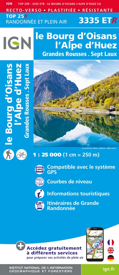
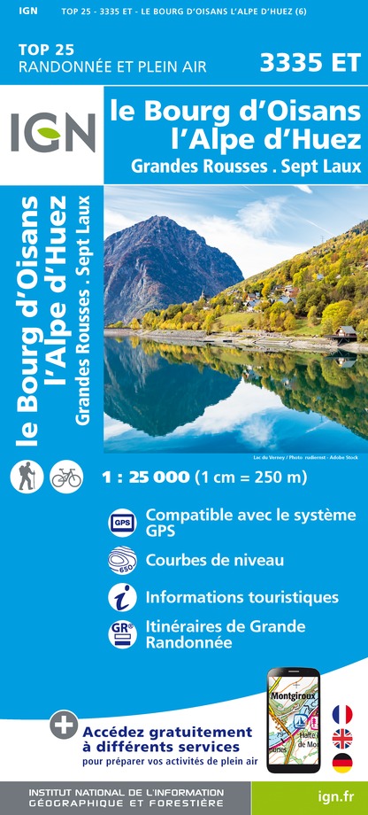
IGN Top 25 Bourg d'Oisans and Alpe d'Huez 3335 ET
ITINERARY
From the parking lot in the hamlet of Les Cours, join the main road, which you follow for 100 m to cross and take the path to Les Certs. The itinerary is shaded, with a few breaks to enjoy the view.
At the hamlet of Les Certs, you can stroll between the houses and enjoy the peaceful atmosphere before continuing your hike.
The path down to La Balme leads off to the left just before the wash-house. A pretty stone staircase leads down between the houses, and the path winds through the fields to the hamlet of La Balme.
You cross La Balme, then, after the chapel, follow the signs for Les Châtains, a beautiful semi-shaded balcony crossing to take in the breathtaking view of the Romanche and the Écrins massif, where the Meije is king.
At Les Châtains, turn left into the first street that joins the main road. Turn left for 50 metres, then cross the road and complete the loop to the hamlet of Cours. You can stop off at the "La Maison d'Alice" eco-museum in Les Cours.
Alternatively, you can do the loop from the Auris station, in the direction of Les Cours. The return route is the same.
TO SEE ALONG THE WAY
- In the hamlet of Les Certs, stroll along the narrow streets to the chapel of Saint-Jean-Baptiste, whose distinctive wooden bell tower is a special feature.
- In the hamlet of Cours, you'll find a chapel, an eco-museum and a number of sundials, all signs of sunny weather.
THINGS TO DO NEARBY
- Discover Auris' hamlets on the Heritage Orientation Trail. Available from the tourist office or downloadable from www.auris.fr.
- The Cheminées de La Balme trail plunges to the bottom of the Romanche valley, not far from the Clapier d'Auris. This historic path was the only one to link the village to the valley.
WORTH KNOWING
Auris lies not far from the Roman road that linked Turin to Vienna via Susa, the Montgenèvre pass, Briançon, the Lautaret pass and Grenoble. Auris must have been served by a more sunny secondary route than the main one via Mont de Lans.
Dogs must be kept on a leash due to the presence of herding dogs at certain times of the year.
Technical Information
Altimetric profile
Starting point
Additional information
Environments
Mountain location
Updated by
Oisans Tourisme - 19/11/2025
www.bike-oisans.com
Report a problem
Open period
From 15/05 to 31/10 daily.
Subject to favorable snow and weather conditions.
Contact
Phone : 04 76 80 13 52
Email : info-auris@oisans.com
Website : http://www.auris.fr
Facebook : https://www.facebook.com/OisansTourisme/
Type of land
Ground
Animals
Yes. Due to the presence of herding dogs at certain times of the year, dogs must be kept on a leash.
Data author
