Alert
Alerts
Le tour du Vert (Grand Tour) - Walk from Le Bourg-d'Oisans
1 alert on this circuit
Alerte visiteurs
Itinéraire potentiellement soumis à de forts dégâts dus à des évènements météorologiques majeurs et dont la viabilité peut être incertaine, renseignez-vous avant de vous engager sur ce parcours.

IGN cards


Description
A pleasant relaxing walk in the peaceful hamlets of Bourg-d'Oisans.
TECHNICAL INFORMATION
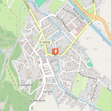
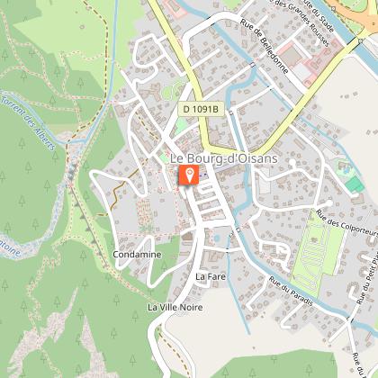
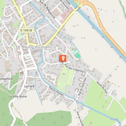
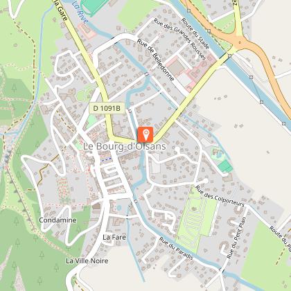
Start: Place du Cristal, Le Bourg d'Oisans
Height difference: 33 m
Round trip duration: 2h00 (loop)
Round trip distance: 8.4 km
Level : Easy
MAP AND TOPO
Carte IGN TOP 25 n°3335 ET - Bourg d'Oisans, Alpe d'Huez
Topo map OBPn°1 (Oisans au Bout des Pieds)
ITINERARY
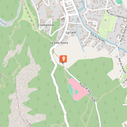
From Place du Cristal, follow the greenway signs to Venosc.
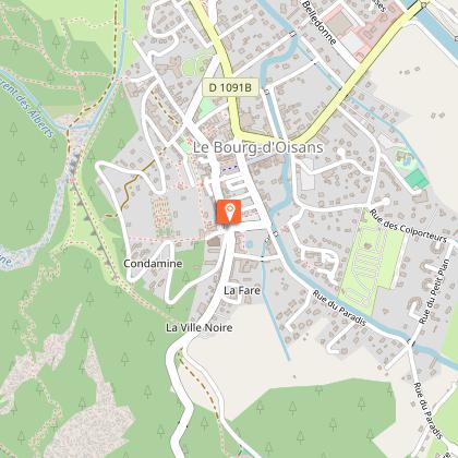
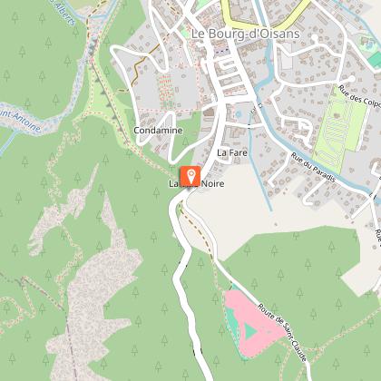
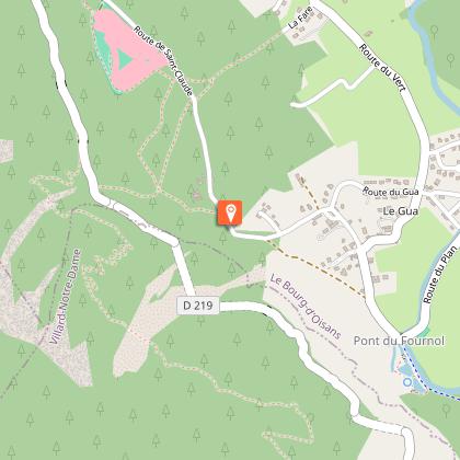
Take the Route Saint-Claude and follow the GR markings (red and white horizontal markings). If you're on foot or by bike, you can continue to the right on the Chemin de la Fare. If you have a baby carriage, turn left onto the Route du Vert.
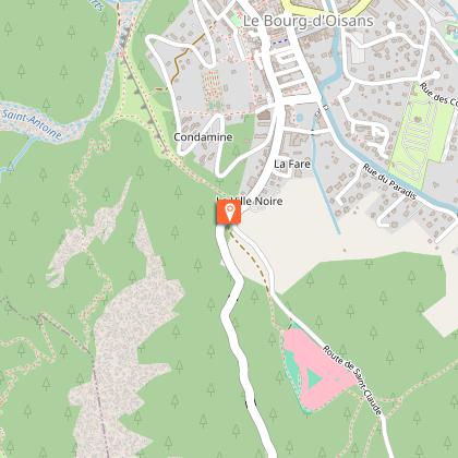
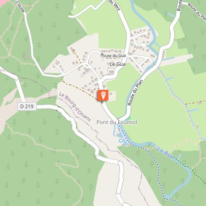
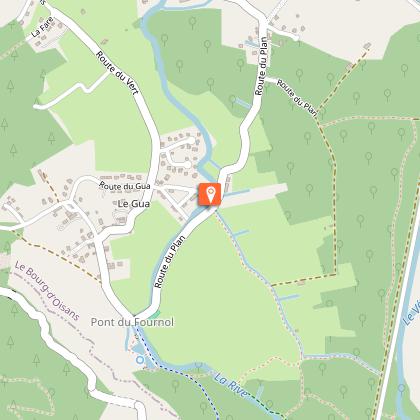
At the end of the path (or road), you'll come to the Pont du Fournol, the start of the canoe and paddle itinerary on the Rive. You're right next to the small La Bleu, an opportunity to take a break before continuing.
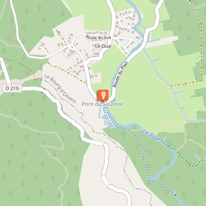
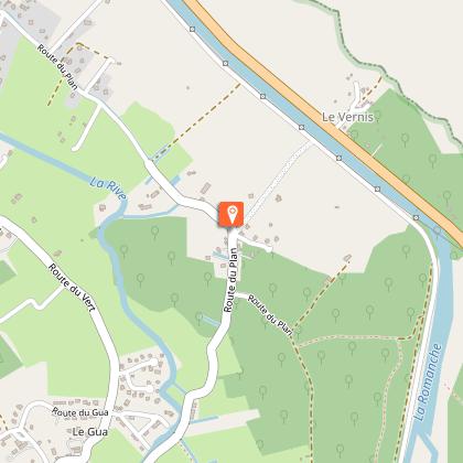
Turn left onto the Route du Plan (do not follow the GR signs) and follow it for about 40 minutes.
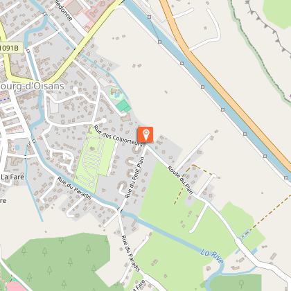
Continue on the route des Colporteurs and return to the center of Bourg-d'Oisans.
Technical Information
Altimetric profile
Starting point
Steps
Additional information
Environments
Overview on river
Mountain view
Updated by
Oisans Tourisme - 05/12/2025
www.bike-oisans.com
Report a problem
Open period
All year round daily.
Subject to favorable snow and weather conditions.
Contact
Phone : 04 76 80 03 25
Email : info-bourgdoisans@oisans.com
Website : https://www.bourgdoisans.com/
Type of land
Hard coating (tar, cement, flooring)
Suitable for city strollers
Suitable for all terrain strollers
Animals
Yes
Data author
