Alert
Alerts
The Oisans balconies
1 alert on this circuit
Visitor alert
- From 25/05/2026 to 10/07/2026
Warning : The Route des Balcons d’Auris (D211.a) is closed to traffic between Auris-en-Oisans (La Balme – Le Cert) and La Garde-en-Oisans (L’Armentier) due to construction until July 10, 2026. Bicycles are prohibited.
Description
The Oisans balconies are a festival of high-perched roads, a hymn to panoramic views and a cluster of eagle’s nest lookout points. Oisans is under your wheels and under your gaze in a series of outstanding sporting moments. Impossible to leave off your “to do” list!
Itinerary no. 3 of the “Cycling in Oisans” guide (Oisans Tourisme)
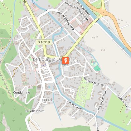
Departure / Arrival: Bourg d’Oisans 720 m
Time: 6 h
Distance (R/T): 93 km
Highest point: 1999 m
Lowest point: 720 m
Total ascent: 3266 m
Max. gradient: 14%
Map: Michelin Local Map no. 333 Isère, Savoie
ITINERARY
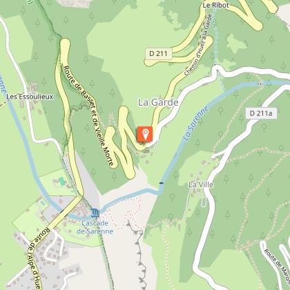
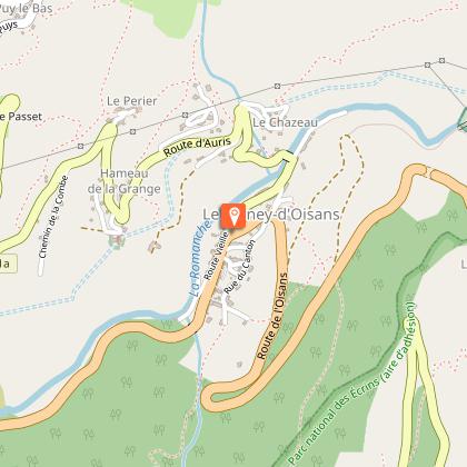
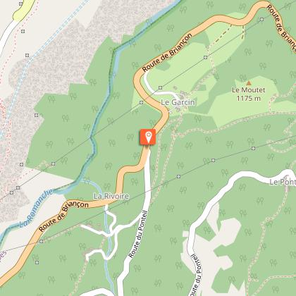
From Bourg-d'Oisans, follow signs for “Alpe d'Huez” to La Garde-en-Oisans. Turn right towards “Auris-en-Oisans” via the Route de la Roche, with its wonderful view over the plain. The show has started! Ride through the hamlets of Auris and back down to the valley to Le Freney. Turn right towards Bourg d'Oisans (D 1091), down 3.7 km to the third turning on the left (D220). Keep your eyes open as there are no signs for this narrow road that winds its way up through the forest, before opening out onto a balcony road to Mont-de-Lans.
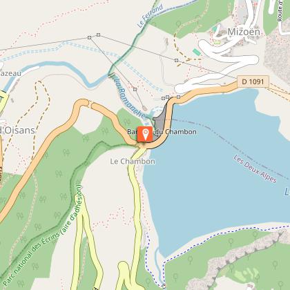
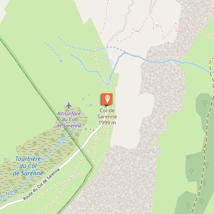
Ride down and cross over the dam, before turning up left onto the road to Mizoën, a small village perched above the lake. Get ready for the climb up to the Col de Sarenne: 13 km and a height gain of 954 m, with an average gradient of 7.45%! A good workout for the legs, punctuated by fabulous view points right up to the top, made famous by the 2013 Tour de France.
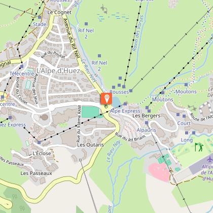
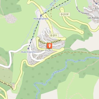
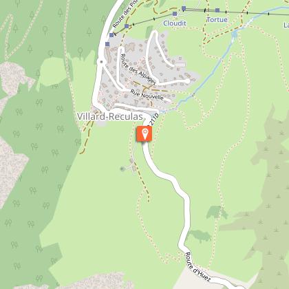
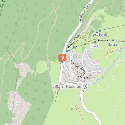
The road then takes you up to Alpe d'Huez. Then ride down to Huez and turn right towards Villard-Reculas via the road known as the "Pas de la Confession".
Next, ride down towards Allemond. After a number of switchbacks, take the second road off to the right (signposted Le Boulangeard) and carry on along the narrow road to Oz-en-Oisans cemetery. Turn left to the Lac du Verney and ride along the lake shore before turning right, signposted “Le Rivier d’Allemond”. To ride round the lake, turn left 2 km after starting the climb, following signs for “Allemond Eglise”. The Route du Villaret takes you to the church, from where you drop back down onto the plain. Turn right and at Rochetaillé, take a left for a last enthusiastic bout of peddling to Bourg d'Oisans!
THAT LITTLE BIT FURTHER : 31 km, +1159 m
For a wonderful finale to the Oisans balconies join up with Route Villard Notre Dame and Villard Reymond.
Technical Information
Altimetric profile
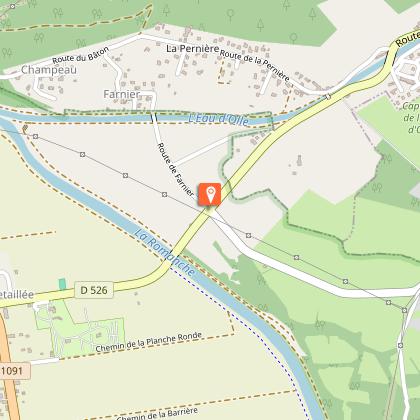
Starting point
Steps
Date and time
- From 01/05/2026 to 31/10/2026
- From 01/05/2027 to 31/10/2027
Additional information
Environments
Mountain view
Mountain location
Updated by
Oisans Tourisme - 25/05/2026
www.bike-oisans.com
Report a problem
Open period
From 01/05 to 31/10 daily.
Subject to favorable snow and weather conditions.
Contact
Phone : 04 76 80 03 25
Email : info@oisans.com
Website : https://www.bike-oisans.com
Topo guides and map references
Topo guides references :
Itinerary no. 3 of the “Cycling in Oisans” guide (Oisans Tourisme)
Map references :
Michelin Local Map no. 333 Isère, Savoie
Data author
