Alert
Alerts
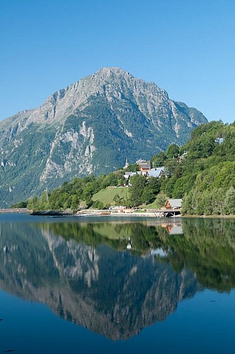
Around the Lac du Verney by e-bike from Bourg -d'Oisans
Description
If you'd like to explore the Bourg d'Oisans plain and the Allemond valley with a little height gain, on quiet roads with places for stopping and with fabulous view points, the route around the Lac du Verney is for you.
ROUTE
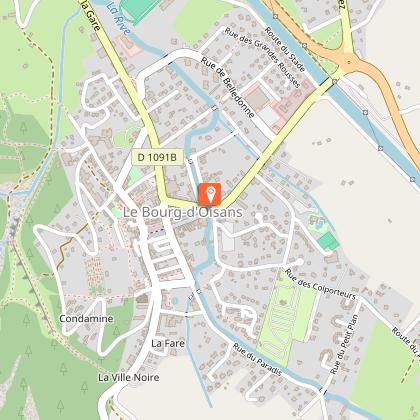
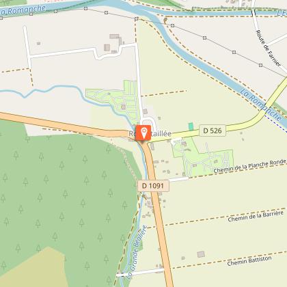
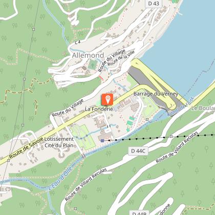
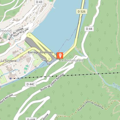
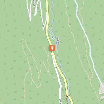
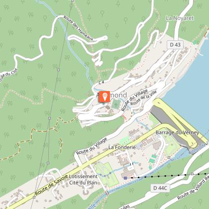
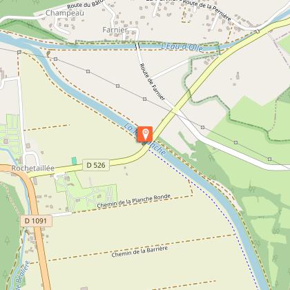
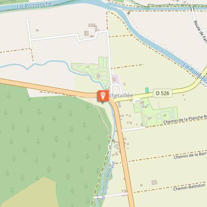
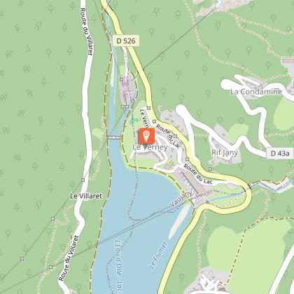
Leave Bourg d'Oisans on the D1091 towards Grenoble and turn right towards Allemond in Rochetaillée on the D526. Ride through the village and up to the Lac du Verney. Cross over the dam and ride the length of the lake (you'll see the Hydrelec Museum on this side) to a point just above the Pont Ratier bridge. This marks the beginning of a steep climb. After 650 m, turn left onto the Route du Villaret, which takes you more gently into the upper part of Allemond. Ride past the church and down towards the D526, where you turn right towards Bourg d'Oisans.
There are two ways of getting back to Bourg d'Oisans. If you prefer to stay on the road, go back the way you came, but if you prefer a track, follow the mountain bike "XC 1" signs in Rochetaillée, which will take you back to Bourg d'Oisans on a track to the right of the road.
PRACTICAL INFO
Recharging: in restaurants in Allemond.
Refreshments and restaurants during the ride: bars and restaurants in Allemond and a snack bar at the Lac du Verney.
Technical Information
Altimetric profile
Starting point
Steps
Points of interest
Date and time
- From 01/05/2026 to 31/10/2026
- From 01/05/2027 to 31/10/2027
Additional information
Updated by
Oisans Tourisme - 17/04/2026
www.bike-oisans.com
Report a problem
Open period
From 01/05 to 31/10.
Subject to favorable snow and weather conditions.
Contact
Phone : 04 76 80 03 25
Email : info-bourgdoisans@oisans.com
Website : https://www.bike-oisans.com
Data author
