Alert

Alerts

To see around
See more
Open
Close
Show
Show
Show
Show
Show
Show
Show
Show
Show
Show
Show

Oups... It would appear that Cirkwi does not have permission to use your location.

Presentation
Description
Map
Steps
Points of interest
Ratings and reviews
See around

La Croix de Cassini - Hike from the Col de Sarenne (Clavans-en-Haut-Oisans)

La Croix de Cassini - Hike from the Col de Sarenne (Clavans-en-Haut-Oisans)

Description

This aerial trail follows a ridge with some tricky sections. At the summit, the Cassini Cross offers a 360° panorama of all the surrounding peaks and massifs (Grandes Rousses, Aiguilles d'Arves, Taillefer, la Meije, le Râteau...).

This itinerary offers spectacular panoramas of all types of glaciers: domed, cascading or hanging... You'll discover crevasses, glacier tongues, seracs and moraines. If you're lucky, you might even spot a marmot, lammergeier or chamois.

TECHNICAL INFORMATION
Departure point: Col de Sarenne
Ascent: 370 m
Round trip time: 2h15
Return distance: 4.2 km
Level: Medium (a few aerial passages)

MAP AND TOPO
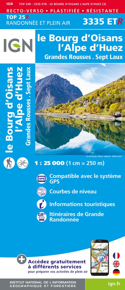
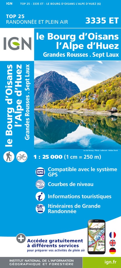
IGN TOP 25 map no. 3335 ET
OBP map no. 2 (Oisans au Bout des Pieds): trail 254c

ITINERARY
Park at Col de Sarenne at an altitude of 1,999 m. From here, it's possible to reach the Croix de Cassini via the ridge. Please note that, although not indicated on maps or signs, this (the most direct) route takes in a number of challenging sections. So, even if the view along the ridge is superb, this itinerary should be reserved for those with mountain feet.
For the uninitiated, it's best to head back down to the road after the pass, on the Alpe d'Huez side, in the direction of the chalets, and take the Col Grange Pellorce path from the Sella (on the left). This route is a little longer, about 1h30 uphill to reach La Croix, but much safer. The marmot, the majestic lammergeier and the chamois will all be there for you to enjoy. At Croix de Cassini 2361 m, all these efforts are rewarded by a unique panorama of the surrounding peaks and valleys.

THINGS TO SEE ON THE WAY :
- La Bergerie du Col de Sarenne
- The Grange Pellorce mountain pastures

SIGHTSEEING NEARBY:
- The village of Clavans en Haut Oisans: its fountains, squares, church and ancient dwellings.
In Alpe d'Huez:
- The Musée d'Huez et de l'Oisans.
- Notre Dame des Neiges church (its architecture, its original organ in the shape of a hand stretched towards heaven and its 13 stained-glass windows illustrating scenes from the Gospel.

WORTH KNOWING:
The Écrins massif is the largest glacial massif in France. From the summit of the Croix, you can understand the choice of the geographer Cassini, who not without reason mapped this part of the Écrins massif in the 17th century from this summit.
In the 18th century, César-François Cassini was entrusted with the ambitious mission of mapping the kingdom of France. He left his name to many peaks, including the Cassini Cross, which he used for his measurements. Cassini maps, drawn over 250 years ago, are as accurate as today's IGN maps.

Technical Information

Walking
Difficulty
Medium
Duration
2h15mn
Dist.
2.1 km
Show more

Altimetric profile

Starting point

Col de Sarenne , 38142   Clavans-en-Haut-Oisans
Lat : 45.087355Lng : 6.149101

Points of interest

image du object

Clavans en Haut Oisans

The village of Clavans (1400m) was called “Saint Didier du pied du bois” and means “the key” in local dialect. This name was given because the village always kept the entrance of the Valette and Quirlies passes, located on the former border with the Savoie department.Nestled against a slate ridge, this flowery village, often awarded on the occasion of departmental competition will enchant you with its pretty fountains, squares, its church and its small and charming chapel. The two villages that comprise it (Clavans le Bas and Clavans le Haut) are located 2 kms away from each other, bordering Ferrand. This impetuous torrent, which has also given its name to the valley, has its source in Lake Quirlies on the Sarenne glacier (subject to a beautiful hike in the site) and then passes through the pastures, forming beautiful waterfalls and ends its way into the turquoise waters of the Lac du Chambon. Its beautiful old houses testify to the prosperity of farmers and peddlers of Oisans. The long and harsh winters are the reason that some men became hawkers to sell products throughout France (and sometimes abroad!) They sold haberdashery products, small household items and plants from Oisans. You can also admire the old houses, some of which have hosted Huguenot refugees in the earliest times of the French Wars of Religion. Indeed, following the revocation of the Edict of Nantes in 1685, there are hundreds of Protestants of Oisans who tried to flee to the Savoie region by crossing the Vallette and Prés Nouveaux passes. The people of Clavans in Haut-Oisans, have maintained their traditions. Discover the craft activities such as “farouilles” (old locks), basketry (homemade wicker baskets…), and taste delicious local honey and local and regional specialties. In summer, it is possible to escape to the hills by crossing the Col de Sarenne, a wonderful panoramic viewpoint of the Massif de la Meije linked with the Alpe d’Huez ski station by a former pastoral road. The slope of Cerisier, of Clos Chevalleret, without forgetting the traditional walk to the Quirlies Lake are some of the beautiful landscapes that you can discover. Note that Clavans is located on the GR54 Tour de l’Oisans. In winter, the backcountry ski slope of the Grand Sablat glacier can be used, starting from the Pic Blanc (Alpe d’Huez) with the help of a guide.

- Oisans Tourisme -
Consulter
image du object

Alpe d'Huez Museum of History and Archaeology

The Alpe d'Huez Museum of History and Archaeology is the only structure in a high-altitude resort to have been awarded the "Musée de France" label. It traces the long history of the village of Huez and its alpine pastures, from the Middle Ages to the present day.The museum presents visitors with two new scenographies through the permanent exhibitions "Le spectacle de la montagne" and "Brandes et la ruée vers l'argent des XIIe et XIIIe siècles". There's also a space dedicated to the Second World War, with the exhibition "Eté 1944. Le Maquis de l'Oisans". 3 EXHIBITIONS: "LE SPECTACLE DE LA MONTAGNE", "BRANDES ET LA RUEE VERS L'ARGENT DES XIIE ET XIIIE SIECLES", "ETE 1944. LE MAQUIS DE L'OISANS". These exhibitions punctuate the visit to the Musée de l'Alpe d'Huez: "The Mountain Show Presented from December 2022, this permanent exhibition tells the story of the transformation of the "Vieil Alpe" mountain chalets into hotels, forming an internationally-renowned high-altitude tourist resort from the 1980s-90s onwards. Featuring 4 "historical kiosks" and richly illustrated with photographs retracing the periods 1923-1939, 1945-1973, 1974-1989, 1990-2022, this exhibition with its immersive, explanatory cubes reveals to the curious this rich history, with the role of ski pioneers (Moulin, Chaix, Chalvin, Rajon, Pomagalski etc.), the heyday of the traditional, family-run hotel industry from the 1930s to the 60s, sporting events such as the Tour de France, new snow-related activities such as snowboarding in the 1980s, summer skiing and ever-increasing events such as Tomorrowland Winter. In addition, the architectural and urban development of the resort is highlighted in the exhibition by a touch table (historical and 3D models of the resort's districts) and an interactive terminal featuring several witnesses to this urban development. The Alpe's built heritage (hotels, ski lifts, public buildings, Rif Nel, individual chalets, etc.) is presented, as are future projects. Finally, the projection of INA films from the past (leisure activities in the 50s, the role of promoters in the 70s, inauguration of the bobsleigh run and Pic Blanc cable car in the 1960s and 70s) will attract the attention of adults and children alike. "Brandes and the silver rush of the 12th and 13th centuries". Looking around Alpe d'Huez today, who would believe that in the Middle Ages, a community of men, women and children settled on the Brandes plateau, at the foot of the Saint-Nicolas rock, to extract silver ore from the mountain's subsoil at an altitude of over 1800m? And yet, from the 12th to the 14th century, these inhabitants of the mining village of Brandes (the highest in Europe for this period) lived there year-round, despite the difficult climatic conditions from October to April. This technical history (France's pre-industrial period and nascent metallurgy) and human history were revealed by the archaeological digs begun in 1977 by Marie-Christine Bailly-Maître and her teams of scientists and volunteers. The discoveries made during these excavations (mining techniques, the manufacture of the silver dust that is Brandes' finished product for the coins of the dauphin - lord of the Dauphiné - religious practices and daily life, the construction of a watchtower called "shell-keep") led to the creation of the Maison du Patrimoine in 1982, which became the Musée d'Huez et de l'Oisans and then, in 2023, the Musée d'histoire et d'archéologie de l'Alpe d'Huez. The museum was awarded the "Musée de France" label in 2002, and in 2012 moved to AgorAlp, on the 1st floor of the Palais des Sports et des Congrès de l'Alpe d'Huez. A new scenography presenting the archaeological collection is visible and contextualizes the artifacts found above and below ground. "Summer 1944. The Oisans Maquis". Finally, let's not forget the extraordinary story of the Oisans Maquis during the Second World War. Although the mountains seem to be an unspoilt area, sometimes tragic, often heroic events took place in the Grandes Rousses massif, and in Oisans more generally. Alpe d'Huez was home to a military hospital belonging to the Forces Françaises de l'Intérieur (FFI), notably in the chalet du Signal, an annex of the Grand Hôtel. "Faced with the advance of the German army and its desire to control the Oisans (following the capture of the Vercors in July), Doctor Tissot ordered the evacuation of the wounded patients in August 1944. This marked the beginning of a slow and difficult climb for the patients, some of whom were in critical condition, and the hospital staff, up to the heights of the Alpette and the slopes of the Grandes Rousses. They were helped by the crew of a Boeing B-24 Liberator, "11 Americans who fell from the sky": the crash of their bomber in the commune of Prunières, near Gap, prompted them to cross the Oisans. They provided invaluable support for the FFI withdrawal. Protecting the wounded as they climbed to higher ground, the Maquisards de l'Oisans put up a fierce fight on the heights of the Alpette against a division of German Alpine fighters, following the capture of the Vercors a short time earlier; they emerged victorious on August 14, 1944, with no loss of life. Relive this historic event through educational panels and objects from the Musée de l'Alpe d'Huez collection. CULTURAL EVENTS Activities (Nocturnes, Bourses et bracelets workshop - during school vacations -, guided tours of the Pic Blanc, the Museum and the Notre-Dame des Neiges church) are organized during the winter season at the Museum, from December to mid-April. For further information, call 04 76 11 21 74 or e-mail accueil.musee@mairie-alpedhuez.fr GUIDED TOURS * Guided tour of Pic Blanc (3330m) Visit covering a wide range of topics: 3-star Green Guide panorama, history of the resort and skiing, information on geology, landscape, fauna, flora, glaciers... No walking (access by cable car from the Pic Blanc cable car). Every Tuesday and Thursday during the winter season, from 10 a.m. to 12.30 p.m. How to get there: meet in front of the Pic Blanc cable car ticket office (formerly DMC, at the top of the resort, at 1850m altitude, after the Pistes traffic circle). Rates: contact SATA (04 76 80 30 30) for details. * Other tours are offered by the Huez Cultural Service, with registration at the Museum (places are limited, with registration at the Museum, by email or telephone at accueil.musee@mairie-alpedhuez.fr -; 5€ or 3€; 04 76 11 21 74): - Notre-Dame des Neiges church (Wednesdays, 2.30pm-4pm), - Musée d'histoire et d'archéologie (Tuesdays, 4.30 pm to 5.30 pm) FINE ARTS EXHIBITIONS "ANNE AUVERGNE" ROOM In the Anne Auvergne room (AgorAlp, 1st floor of the Palais des Sports et des Congrès), take advantage of the volume and brightness of this exhibition room and its works to discover watercolors, acrylic paintings, sculptures, engravings, etc. for one winter. Free admission

AgorAlp 70 avenue de Brandes Au 1er étage d'AgorAlp 38750 Alpe d'Huez
- Apidae -
Consulter

Date and time

  • From 01/05/2025 to 30/10/2025
  • From 01/05/2026 to 30/10/2026

Additional information

Open period

From 01/05 to 30/10.

Subject to favorable snow and weather conditions.

Updated by

Oisans Tourisme - 13/03/2025
www.oisans.com
Report a problem

Visitor alert

As this route is potentially subject to severe damage due to major weather events and its viability may be uncertain, please enquire before embarking on it.

Contact

Phone : 04 76 80 03 25

Email : info-bourgdoisans@oisans.com

Topo guides and map references

Topo guides references :
OBP map no. 2 (Oisans au Bout des Pieds), trail 254c

Map references :
IGN TOP 25 map no. 3335 ET

Location complements

Reach the Col de Sarenne either via Alpe d'Huez (D211), or via the Ferrand valley (an opportunity to visit the traditional villages of Mizoën, Clavans or Besse).
From the Ferrand valley: head for Briançon, then after the Chambon dam, take the 1st road on the left towards Clavans as far as the pass.
From Alpe d'Huez, follow the signs for the altiport and take the road to Col de Sarenne.

History, culture and heritage

The Écrins massif is the largest glaciated massif in France. From the summit of La Croix, we understand the choice of the geographer Cassini, who not without reason mapped this part of the Écrins massif in the 17th century from this summit.
In the 18th century, César-François Cassini was entrusted with the ambitious mission of mapping the kingdom of France. He left his name to many peaks, including the Cassini Cross, which he used for his measurements. Cassini maps, drawn over 250 years ago, are as accurate as today's IGN maps.

Tricky passages

Some overhead passages with cable

Data author

Image Oisans Tourisme
proposed by Oisans Tourisme
1 bis rue Humbert 38520 Le Bourg d'Oisans France

Ratings and reviews

To see around
See more
Open
Close
Show
Show
Show
Show
Show
Show
Show
Show
Show
Show
Show
Caution!
We have no information on the difficulty of this circuit. You may encounter some surprises along the way. Before you go, please feel free to inquire more and take all necessary precautions. Have a good trip! 🌳🥾