Alert
Alerts
Le Soreiller par la montagne d'en bas - hike from Les Étages


IGN cards


Description
A sporty, aerial route with breathtaking views over the Vénéon valley and the Dibona.
Not recommended in wet weather.
TECHNICAL INFORMATION
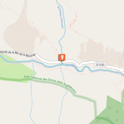
Start: Parking les Étages
Ascent: 1,270 m
Duration: 7 h 30 loop
Distance: 11.6 km
Level :
Rando Very difficult
MAP AND TOPO
IGN Top 25 map n°3436 ET
OBP map n°5 (Oisans au Bout des Pieds) - sheet 537
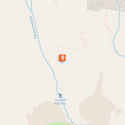
Park at the Étages parking lot and follow the RD 530 towards Saint Christophe en Oisans for 600m. The trail starts at the roadside. It quickly rises to reach the foot of the rock. This part is steep and stony.
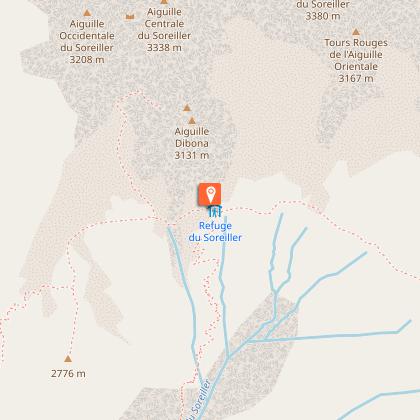
The path then continues through a series of rocky ledges before reaching the foot of a good grassy ridge. We skirt this ridge on the west side to reach the summit at around 2760m. The Aiguille Dibona and the refuge du Soreiller, just below, can be reached in around 20 minutes.
Return along the classic path to Le Étages.
Please keep dogs on a leash at all times of year.
SIGHTSEEING
- La Dibona
- Vallon des Étages and Pointe du Vallon
Technical Information
Altimetric profile
Starting point
Steps
Additional information
Updated by
Oisans Tourisme - 18/11/2025
www.bike-oisans.com
Report a problem
Tips
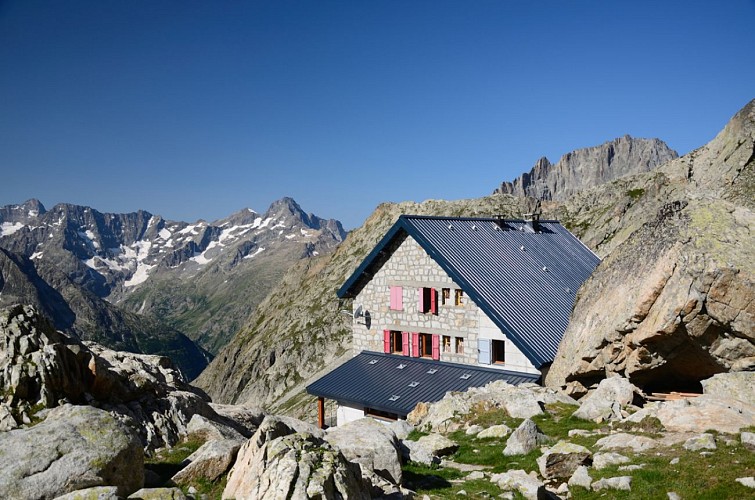
View of the climbers from the refuge terrace.
Open period
From 15/05 to 31/10 daily.
Subject to favorable snow and weather conditions.
Contact
Phone : 04 76 80 50 01
Email : info-berarde@oisans.com
Website : https://www.oisans.com/stations-et-villages/saint-christophe-oisans-berarde/
Facebook : https://www.facebook.com/OisansTourisme/
Type of land
Stone
Ground
Animals
Yes
Data author
