Alert
Alerts
Type of practice
Walking
Easy
1h
Presentation
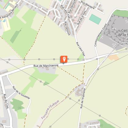
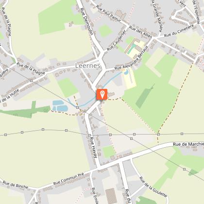
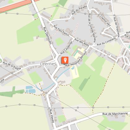
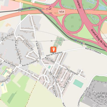
Map
Steps
Points of interest
Ratings and reviews
See around
Sur le Champ de Bataille


Credit : B.Dubrulle
IGN cards
102 LILLE MAUBEUGE PNR SCARPE ESCAUT PNR DE L'AVESNOIS
Editor : IGN
Collection : TOP 100
Scale : 1:100 000
8.40€

NR05 GRAND EST RECTO/VERSO MASSIF DES VOSGES ALSACE LORRAINE
Editor : IGN
Collection : CARTES RÉGIONALES IGN
Scale : 1:250 000
6.80€

NR04 - GRAND EST RECTO/VERSO ARDENNE CHAMPAGNE
Editor : IGN
Collection : CARTES RÉGIONALES IGN
Scale : 1:250 000
6.80€

NR01 HAUTS-DE-FRANCE
Editor : IGN
Collection : CARTES RÉGIONALES IGN
Scale : 1:250 000
6.80€

PAYS-BAS BELGIQUE LUXEMBOURG
Editor : IGN
Collection : DÉCOUVERTE DES PAYS DU MONDE IGN
Scale : 1:300 000
7.00€

EUROPE
Editor : IGN
Collection : DÉCOUVERTE DES PAYS DU MONDE IGN
Scale : 1:2 500 000
7.00€
Technical Information
Walking
Difficulty
Easy
Duration
1h
Dist.
4 km
Type of practice
Walking
Easy
1h
Show more
Altimetric profile
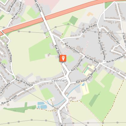
Starting point
1
Place Degauque
,
6142
Leernes
Lat : 50.39755Lng : 4.33096
Steps

Points of interest


Additional information
Designer
The route was designed by Ville de Fontaine-l'évêque
Signalétique (EN)
No signage
Data author

proposed by
Maison du Tourisme Pays des Lacs
99, route de la Plate Taille 6440 Boussu-lez-Walcourt Belgique
Ratings and reviews
To see around