Alert
Alerts
Stroll from the hamlet of Le Col to Les 3 Croix - Hiking itinerary
Description
This hike will take you through the pretty hamlet of Le Col and the 3 Croix, a symbolic hike in Valloire. In winter, the hike is accessible when the avalanche risk is less than 3/5.
To activate geolocation, click on the map icon.
Technical Information
Altimetric profile
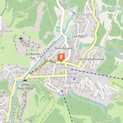
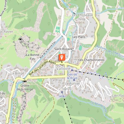
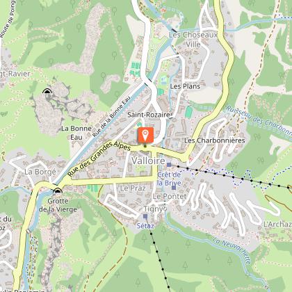
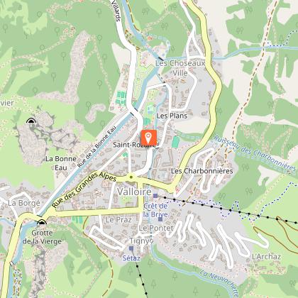
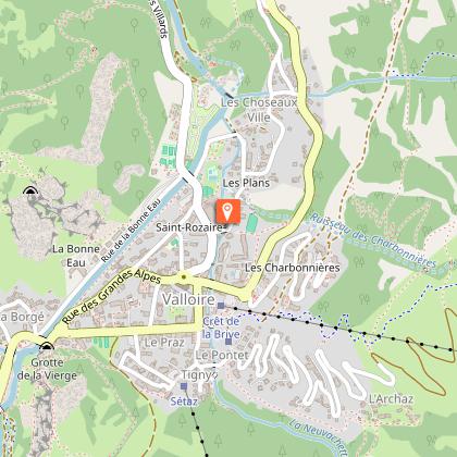
Starting point
Steps
Additional information
Tips
When hiking, there are a few things you can do to make your experience safer and more enjoyable. Walking poles (even on roads) improve balance in icy conditions, crampons provide grip, and regular hydration is essential.
Carry a water bottle and snacks to keep your energy up. Protect yourself from the sun with sunscreen and sunglasses. Don't forget binoculars to add a touch of observation to your adventure.
Finally, check weather conditions and avalanche risks before you set off. Inform someone of your itinerary, as communication may be limited. These small adjustments will help you make the most of your getaway.
Updated by
Office de Tourisme de Valloire - 29/04/2026
www.valloire.net/
Report a problem
Environments
Mountain view
Mountain location
Close to a public transportation
Near shuttle stop
Open period
All year round daily.
Subject to favorable weather.
Contact
Phone : 04 79 59 03 96
Email : info@valloire.fr
Website : https://www.valloire.net/profiter-de-valloire/activites-outdoor/la-randonnee/itineraires-de-randonnees-a-valloire/
Facebook : https://www.facebook.com/valloiregalibier/
Twitter : https://twitter.com/valloire
Topo guides and map references
Map references :
The walking map is available free of charge from the tourist office.
IGN map 3435ET VALLOIRE - Aiguilles d'Arves / Col du Galibier is on sale in Valloire shops.
Type of land
Groomed trail
Hard coating (tar, cement, flooring)
Not suitable for strollers
Reception complements
To keep the mountains a pleasure, choose an activity suited to your level of experience and physical ability. Check the weather and seek advice from qualified professionals, and tell someone about your itinerary. Set off with the right equipment: good shoes and walking poles. In your rucksack, carry a water bottle and snacks to keep your energy levels up, a survival blanket or warm clothing. Protect yourself from the sun with sunscreen and sunglasses. Don't forget binoculars to add a touch of observation to your adventure.
Guidebook with maps/step-by-step
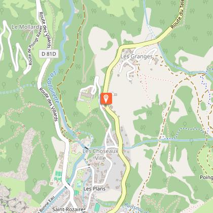
Departure : Tourist Office
1/Take the route des Villards and turn right before the ice rink.
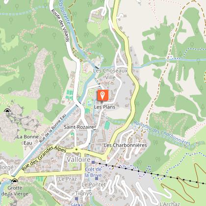
2/ Continue along Rue des Plans, then turn right after "la Maison des Jeunes".
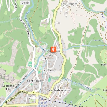
3/ Continue along Rue des Choseaux until you reach the intersection with Route du Télégraphe.
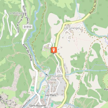
4/ Cross the road and take the path on the left towards the hamlet of Les Granges.
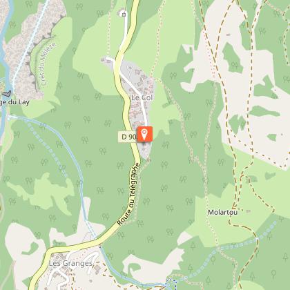
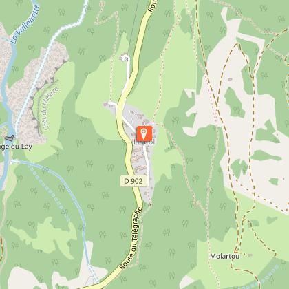
5/ Reach the hamlet of Les Granges, then cross it to continue on the path towards the hamlet of Le Col.
6/ Once you've reached the hamlet of Col, you can continue up towards Les Trois Croix before descending along the same path (in winter, this section is not recommended when the avalanche risk is 3/5 or higher).
7/ You can return to Valloire by taking the same route from the Hameau du Col.
You can take the shuttle up or down from the Hameau du Col (at the exit of the Hameau at the intersection with the Route du Télégraphe) in summer or winter.
Animals
Yes. Pets must be kept on a leash.
Data author
