Alert
Alerts
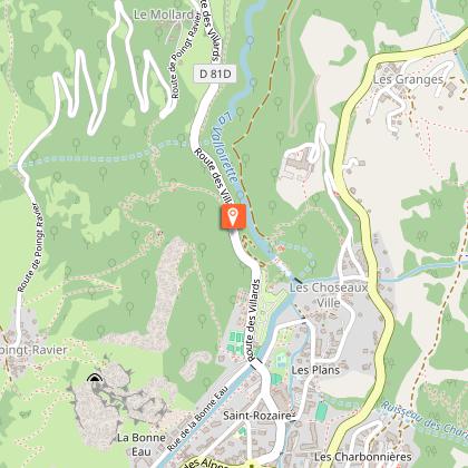
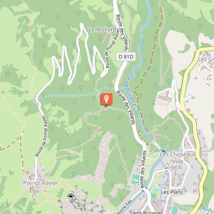
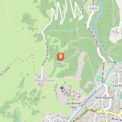
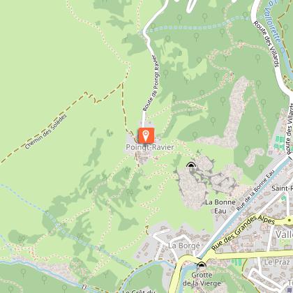
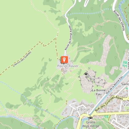
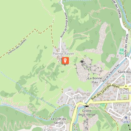
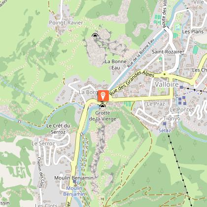
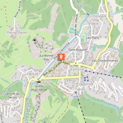
Poingt Ravier - Hiking itinerary
Description
Discover Poingt-Ravier, an authentic Valloire hamlet. With its breathtaking panoramas, traditional houses and charming forest path, this accessible walk is a must.
Take a charming stroll to discover Poingt-Ravier, one of Valloire's 17 hamlets, with its breathtaking panoramic views. This accessible hike immerses you in an authentic atmosphere of heritage, nature and exceptional panoramas.
Right from the start, the trail gradually rises over mineral terrain, offering superb views of the village of Valloire and the valley. As you climb, you gently gain height as you approach the Poingt Ravier chapel.
The arrival at Poingt-Ravier is a real highlight: its traditional Valloirinches houses, wooden fountain and unspoilt environment make it a place out of time. Take time to enjoy a gourmet break at the "Mazot du Poingt Ravier".
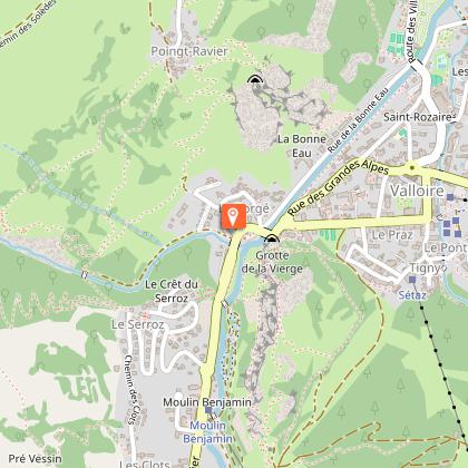
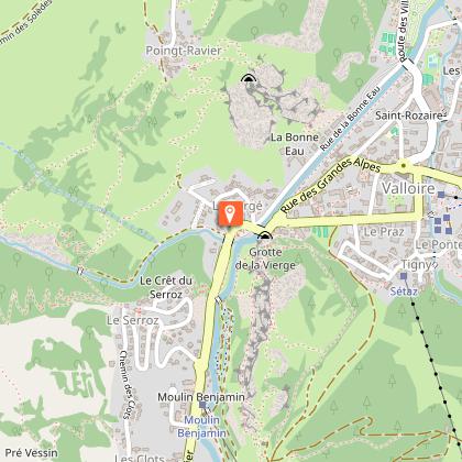
The walk continues with a charming descent along a winding path through the forest, guiding you gently back to Valloire.
An ideal way to discover the local heritage and enjoy a pleasant walk, accessible to all.
Technical Information
Altimetric profile
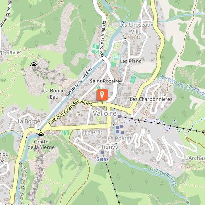
Starting point
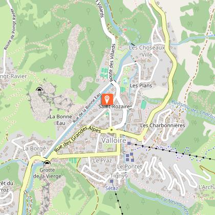
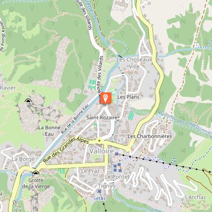
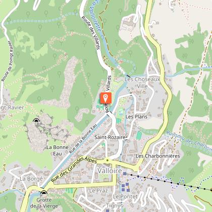
Steps

Additional information
Updated by
Office de Tourisme de Valloire - 12/05/2026
www.valloire.net/
Report a problem
Environments
Near shuttle stop
Mountain view
Mountain location
Close to a public transportation
Open period
All year round daily.
Subject to favorable weather.
Contact
Phone : 04 79 59 03 96
Email : info@valloire.fr
Website : https://www.valloire.net/profiter-de-valloire/activites-outdoor/la-randonnee/
Facebook : https://www.facebook.com/valloiregalibier/
Topo guides and map references
Map references :
Map of Valloire hiking and mountain biking trails, on sale at the tourist office.
IGN map 3435ET VALLOIRE - Aiguilles d'Arves / Col du Galibier is on sale in Valloire shops.
Tricky passages
In winter, as there is a risk of avalanche in this area from level 3/5 upwards, this route is not recommended.
Animals
Yes. Pets must be kept on a leash.
Data author
