Alert
Alerts
The Black Grouse (Lyrurus Tetrix) trail
Description
On the Jaillet massif, the forest path that crosses the black grouse’s territory meets up with former pastures in the ridgeline and offers an exceptional viewpoint over the Aravis and Mont-Blanc massifs.
By car, follow signs for the Jaillet gondola and Luge 4 Saisons, then go right until you reach the Ball Trap parking lot.
Walk towards the Cabane des Frasses (1625), join the Tétras-Lyre trail on the west-bound connecting path, and at the first crossroads on the left follow signs for the Tétras-Lyre trail.
The Tétras-Lyre trail begins on a small path that rises quickly through the spruce forest to the Frasses hut (picnic tables, dry toilets).
The path then climbs to a junction leading to rhododendron and bilberry moorland. The path joins the ridge line and opens up to the panorama, before descending into the forest to the Ball Trap.
8 reading tables and 2 orientation tables adorn the trail, allowing you to discover richly varied natural environments and their wildlife
Technical Information
Altimetric profile
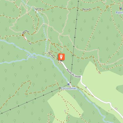
Starting point
Points of interest

Date and time
- From 01/05/2027 to 30/11/2027
Additional information
Tips
An alternative itinerary to the left leads to Christomet (1853m) and the Oratory (30 min), offering a breath taking 360° panorama !
Updated by
Mairie de Megève - 29/03/2026
mairie.megeve.fr
Report a problem
Open period
From 01/05 to 30/11 daily.
Walkable trail according to snow conditions.
Subject to favorable weather.
Location complements
Start from the Ball trap Parking lot or possible start from the top of Jaillet Cable car.
Type of land
Ground
Not suitable for strollers
Contact
Phone : 04 50 21 27 28
Email : megeve@megeve.com
Environments
Forest location
Mountain location
Guidebook with maps/step-by-step
0/ By car or on foot, start at the bottom of Le Jaillet, follow signs for the Jaillet gondola and Luge 4 Saisons, then turn right to the Ball Trap parking lot.
1/ Walk towards the Cabane des Frasses (1625m).
2/ Join the Tétras-Lyre trail on the connecting path heading west.
3/ At the first crossroads on the left, follow the signs for the Tétras-Lyre trail.
4/ The Tétras-Lyre trail begins on a small path that quickly rises into the spruce forest.
5/ The path then climbs to a junction leading to rhododendron and bilberry moorland.
6/ The path joins the ridge line and opens up to the panorama.
7/ Then back down into the forest to the Ball Trap.
Animals
Yes
Data author
