Alert
Alerts
Walk linking the Arve river-Les Houches-Chamonix


Description
ATTENTION Trail closed from Les Houches station to Les Bossons due to risk of rockfall;
Family trail accessible to all, located at the bottom of the valley's south-facing slope,
along the right bank of the Arve, ideal for walking to Chamonix.
ATTENTION Trail closed from Les Houches to Les Bossons due to risk of rockfall;
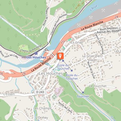
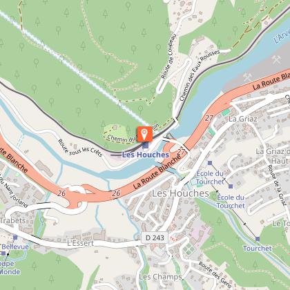
From Les Houches SNCF station, take the route de Coupeau and cross the bridge
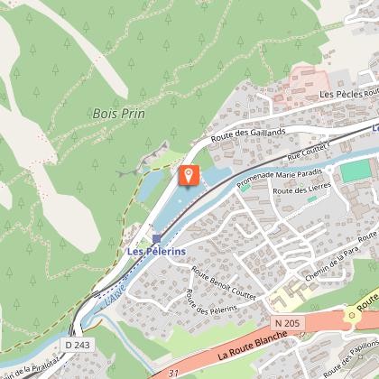
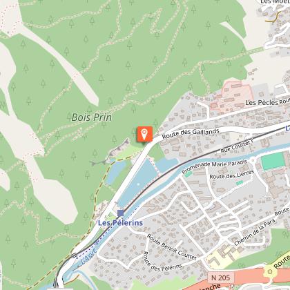
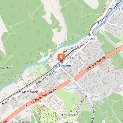
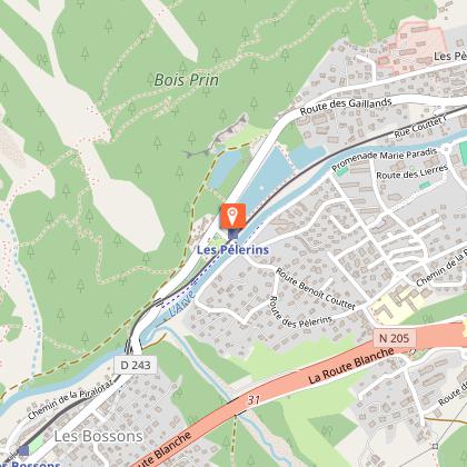
the bridge over the railroad line. Take the Chemin des Eaux-Rousses to the right, until you enter the undergrowth. Continue straight ahead on the path towards Chamonix. Following the Arve up to Les Bossons under the Vouillouds couloir, the forest track crosses the small wood and bypasses Les Gaillands via the Promenade à l'Anglais, a particularly good spot for photography (climbing crags, lakes, refreshment area...). Continue along the climbing rock to the Route des Pècles, on the left, and follow this road straight on to the center of Chamonix. Enter the town via the Lionel Terray traffic circle.
Return by the same route in 2 hours, or by public transport (bus or train).
This walk can be split up by departures from
the Bossons, Piralotaz and Montquarts bridges.
Further information available from the Tourist Office or the Office de Haute-Montagne and in our trail guide.
Please note: trail conditions are subject to change, so check before you set off.
Technical Information
Altimetric profile
Starting point
Points of interest


Date and time
- From 01/04/2026 to 15/11/2026
Additional information
Updated by
Office de Tourisme de la Vallée de Chamonix-Mont-Blanc - 03/07/2025
www.chamonix.com
Report a problem
Open period
Closed temporarily.
Contact
Phone :
04 50 55 50 62
04 50 53 00 24
Email : info@leshouches.com
Website : www.leshouches.com
Data author
