Alert
Alerts
Tour du Vallon de Rioupape (sentier d'interprétation) (N°10)
Description
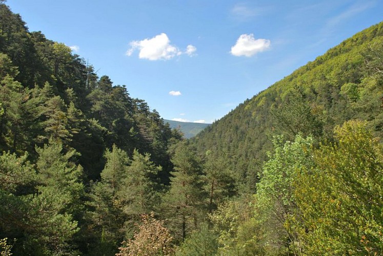
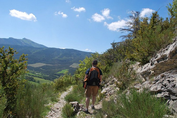
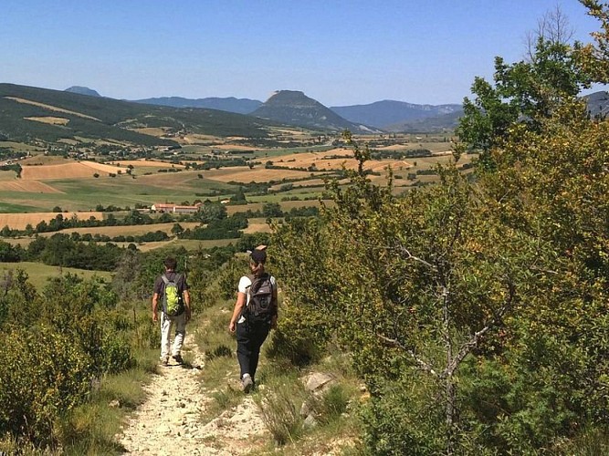
An easy hike to explore L'Epine, a charming little hilltop village, and the surrounding area with its myriad curiosities. Blue marl, a petrifying river with tufa formations, and an eco-walk app.
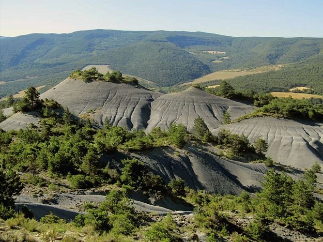
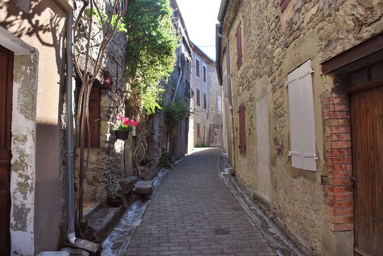
From the parking lot, head up to the village of L'Épine. At the war memorial, turn right and cross through the village. Continue along the road until you reach the fork near the cemetery, then take the left fork. 100 meters past a farm, turn right onto a farm road. Follow this path, cross a wooded stream, and climb while veering left until you reach a plateau. Beautiful blue marl formations are visible on the right.
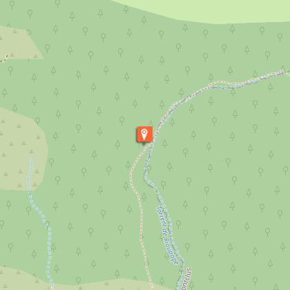
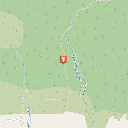
At the intersection (signpost “La Viste”), continue straight ahead and descend toward the Rioupape ravine via a trail. At the bottom, turn left, pass by a lookout point, follow a field, and cross a petrifying stream with tufa formations (limestone concretions). Reach a trail slightly higher up and turn left onto it. Follow this trail back up the ravine for 1.1 km, then turn left onto a narrow path through the Rioupape torrent (often dry).
At the intersection (signpost “Fontaine du Saule”), take a ledge-like path on your left. When the landscape opens up (stay alert), the route descends slightly to the left (climb over 2 fences) to reach a field. Follow the field’s edge and join a rutted trail that leads to the initial junction (“La Viste”). For the return trip, take the same route as on the way there, heading toward “L’Epine.”
Technical Information
Altimetric profile
Starting point
Points of interest
Additional information
Public transport
Let’s limit our trips and use public transportation and carpooling: zou.maregionsud.fr
Advice
Download the app for your hike for free : www.ecobalade.fr
Advised parking
Parking lot across from the Auberge, along the D 994, in L'Epine
Access
From Serres (9 km), follow the D 994 toward L'Épine.
Arrival
Across from the "Auberge"(on the D 994), L'Epine
Ambiance
Please note: Due to an error in the route’s designation, it is listed as an interpretive trail, but there are no interpretive signs along the way. You can follow the route using the “éco-balade” app.
Departure
Across from the "Auberge"(on the D 994), L'Epine
Data author
