Alert
Alerts
Tour du Mont de Garde


Description
Punctuated by many beautiful spots, this route leads to the Mont Garde lookout point.
This route, which follows trails and paths, features a pyramid-shaped elevation profile. After an initial ascent with varying gradients, punctuated by eroded sections and tricky passages, the route reaches Mont de Garde (1,080 m) and its lookout point, which offers a 360° view of the valley. You then follow the GRP Tour du Buëch. The descent takes place through the woods, then follows the ridge of a rocky outcrop before plunging down a steep slope to reach a trail.
Technical Information
Altimetric profile
Starting point
Additional information
Public transport
Let’s limit our trips and use public transportation and carpooling: zou.maregionsud.fr
Advice
Follow the PR trail markers, then switch to the GRP Tour du Buëch markers once you reach the Col de Garde. Please note: part of the trail also crosses a horse trail.
Advised parking
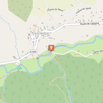
Church parking lot, Trescléoux
Access
From Laragne-Montéglin (12 km), take the D 1075 and D 949 to Trescléoux.
Arrival
Church square, Trescléoux
Departure
Church square, Trescléoux
Data author
