Alert
Alerts
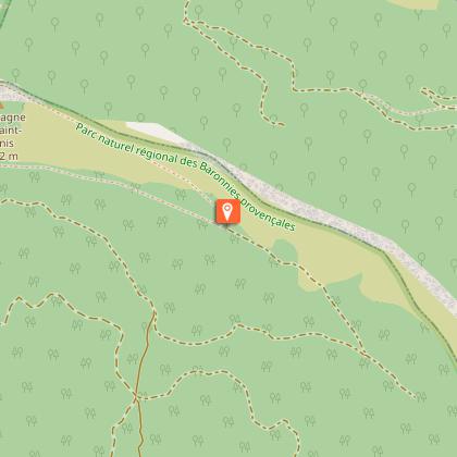
Tour de la Montagne de St-Genis


Description
This quite long hiking makes you walk around Saint-Genis Mountains Corrie from its ridges and balcony paths. There are no difficulties during this trail.
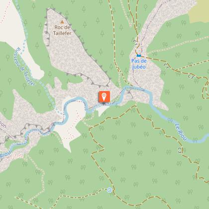
From the parking lot, follow the path on your left. Step over the fence and reach « Le Pas de Jubéo ».
Take a rocky path hiking up on your left to Sait-Genis Mountain side
At the « sous le pas de l’Aup » signpost, you can do a roundtrip to the Roc de l’Esculier (1432 m): take the left path through broom flowers to reach the ridges.
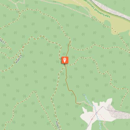
At the junction, follow « Colombier pass » on your right. Go on a track and after two hairpin bends, turn left towards Colombier pass (1151 meters).
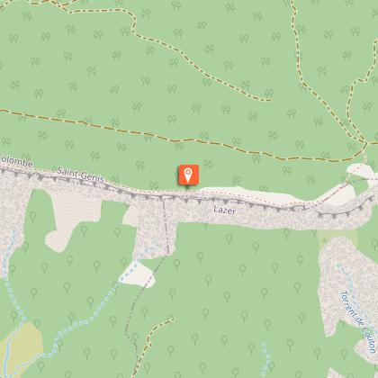
At Colombier pass, continue on your way and take the track heading straight to Lazer pass.
At Lazer pass (1191 m), take a path on your left and reach the grazed ridge. Follow it until « Porte Sereine ».
At « Porte-Sereine », take the path on your right and go down into a beeches woodland which transforms into a pine trees one. On your left, go down a path leading to a forest track until « Le Chastel » signpost.
Follow the left track and at the « RF du château » signpost, take the path going down the slope towards the canyons and reach a junction a 100 meters further.
Follow the right path leading to Jubéo’s parking lot. Cross over the Riou river by a small bridge and hike up again in a pine trees forest until Jubéo’s parking lot.
Technical Information
Altimetric profile
Starting point
Points of interest
Additional information
Public transport
Let’s limit our trips and use public transportation and carpooling: zou.maregionsud.fr
Advice
A long hike with steady climbs that does not present any major difficulties
Advised parking
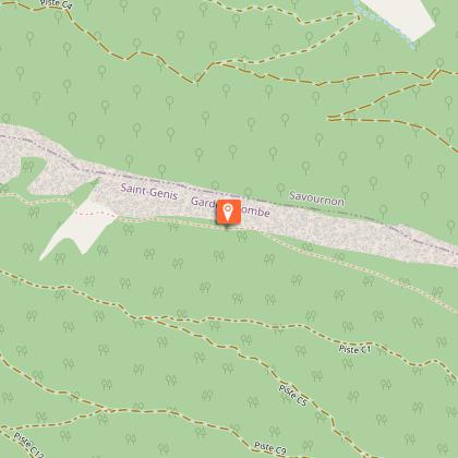
Jubéo parking lot in Savournon.
Access
From Laragne (22 km), take the departmental road D 1075 and the departmental road D 21 towards Savournon and then take the departmental road D 221 to reach Jubéo.
Arrival
Jubéo, Savournon
Departure
Jubéo, Savournon
Data author
