Alert
Alerts
Tour de la Montagne de la Baume
Description
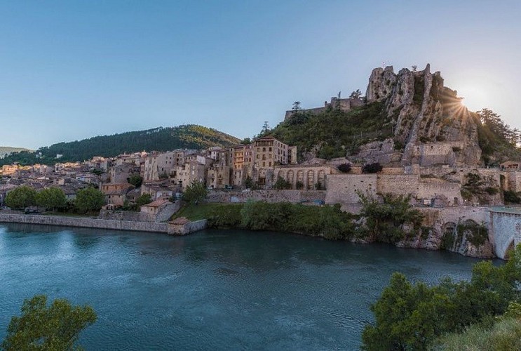
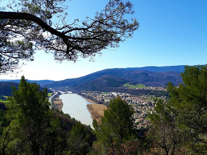
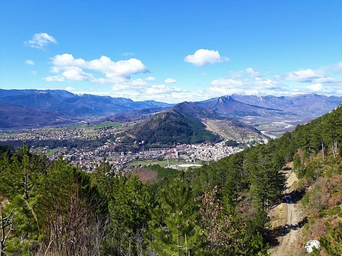
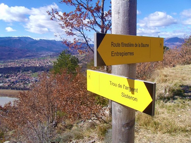
This 15-kilometer trail winds along both sides of the mountain, offering varied landscapes and vegetation, as well as some beautiful views of the Sisteron and Entrepierres areas.
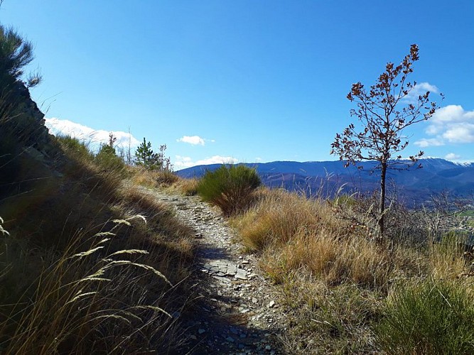
From the climbing area, head toward Trou de l’Argent, following the yellow trail markers along a rocky path. The trail enters a pine forest, where boxwood and a few broom bushes grow in the undergrowth. As you climb, the pines become sparser and the view opens up.
At the “Montée de la Grotte” signpost, take the trail on the right leading to Entrepierres. The trail descends steeply before leveling off at a junction, where you should continue straight ahead toward Entrepierres.
At La Colette, follow the paved road straight ahead toward the Entrepierres town hall. Take the trail that descends, then continue on the road. Once in Entrepierres, turn left onto the road that climbs toward the old village.
Pass through the village and continue on the road that descends for a few meters; then, at a bend, turn left onto the trail that climbs. The trail continues along the river (Riou de Jabron) and then winds upward through a scree slope.
At the fork, take the road on the left. Continue on the paved road. At Les Meuniers, continue along the narrow road toward Sisteron.
Once you reach the Col de Mézien, descend the winding road before turning left onto the Massif Forestier de la Baume trail, which winds deeper and deeper through the pine trees. At the intersection, take an old paved road that descends to the left and return to the starting point.
Technical Information
Altimetric profile
Starting point
Additional information
Public transport
Let’s limit our trips and use public transportation and carpooling: zou.maregionsud.fr
Advice
Please note: the site may be closed during the summer (due to fire risk). We recommend visiting the Sisteron Citadel.
Advised parking
Parking on Route D4 after the Baume Bridge, Sisteron
Access
From Gap (50 km), follow Route 85, then take the A12 from La Saulce to Sisteron. Cross the Baume Bridge to reach Route 4 (where the trail begins).
Arrival
La Baume Climbing Area, Sisteron
Departure
La Baume Climbing Area, Sisteron
Data author
