Alert
Alerts
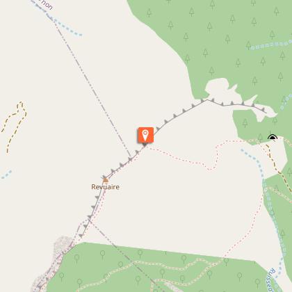
Riou et Revuaire


Description
From Saint-Genis, discover the basins carved out by the clear and cool water of the Riou torrent, the thuriferous juniper forest and the splendid panorama at the top of the Révuaire.
Take the road that goes up to the village.Cross it by walking along the main street.Turn right to reach the path in the black marls.
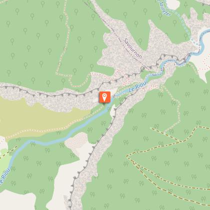
Continue along the path laid out flat, reach the bank of the Riou and go up the gorge on the right bank (leave the small stone bridge on the right).
Continue along the torrent, take the left bank (tunnel passage). After a series of switchbacks to reach a junction ("Saume Longe" post).
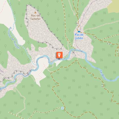
Walk down the path on the left to the bed of the torrent. Cross the footbridge and climb through the undergrowth until you reach a track which leads you to the Maison forestière de Jubéo. Continue to the parking lot (890 m)
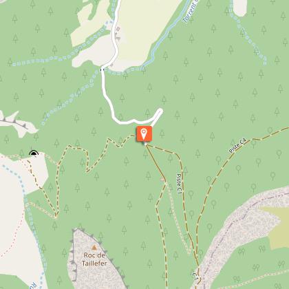
Cross the picnic area and turn left on the path that climbs through the pines for reaching the Taillefer pas, also called, Col de Revuaire (1054 m).
Climb the right path for reaching the summit ridge of the Revuaire (1302 m), be careful, the cliff is very steep.
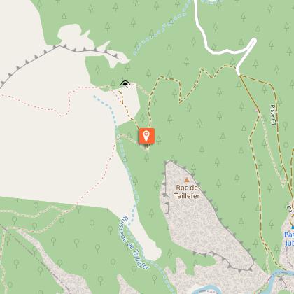
Go down to the Col du Taillefer by the same path. Take the path to the right which, after a bend to the left, goes crosswise (the path is not well marked, follow the cairns).
Further the path bends to the left in the forest Bois du Révuaire. Wind down a series of rocky terraces and find an old mule track well marked and bordered by dry stone walls until you reach the path of the gorges upstream of the small bridge. By the outbound route, return to the starting point.
Technical Information
Altimetric profile
Starting point
Points of interest
Additional information
Public transport
Let’s limit our trips and use public transportation and carpooling: zou.maregionsud.fr
Advice
Possibility of swim in the gorges
Advised parking
Parking lot in front of the town hall, before the village or at the Saint-Genis cemetery (at the bottom of the village).
Access
From Serres (9 km), take the D 1075 then the D 94 towards Garde-Colombe Saint-Genis.
Arrival
Parking lot, Saint-Genis
Departure
Parking lot, Saint-Genis
Data author
