Alert
Alerts
Garenne plateau
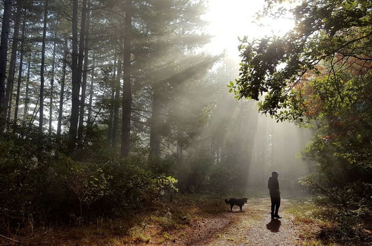
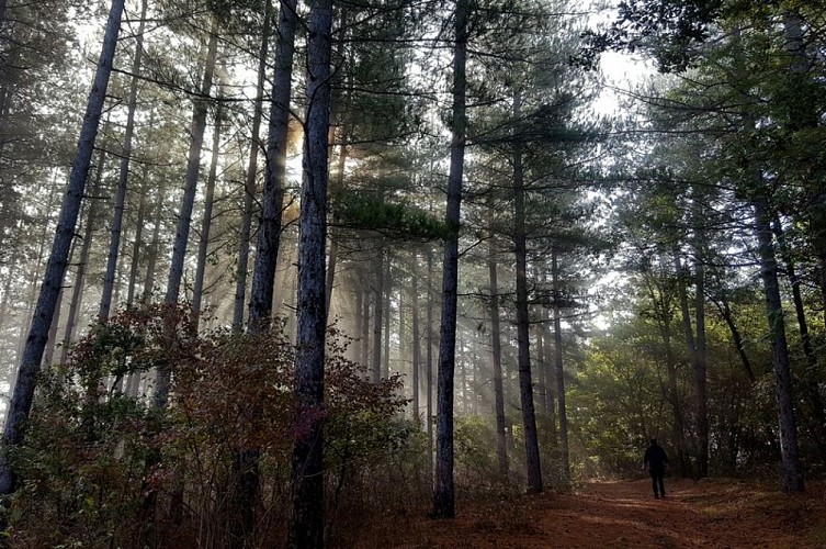

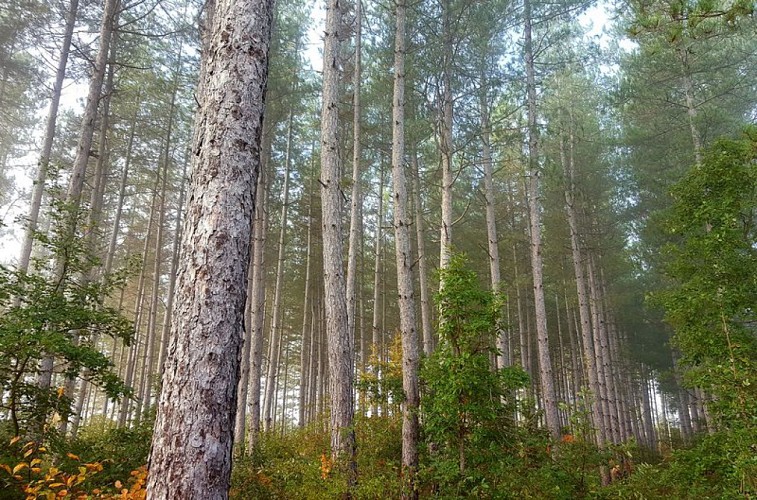
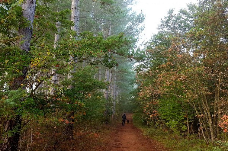
Description
This short walk through Trescléoux’s public forest alternates between ways and paths. It is an easy trail, perfect for a family day
Turn right at the picnic area and follow the yellow trail markers. Ignore the trails to the left and right and continue straight ahead.
At the intersection with a narrower trail, turn left onto it. When you reach a wider path, turn right. Continue along the edge of the plateau. Descend slightly to the left, then turn right onto a narrower trail.
At the “spring” sign, turn right to find it. Then climb a trail in a ravine, ignore the mountain bike trail branching off to the right, and continue climbing until you reach a forest road.
Continue straight for 50 m and turn left onto the forest trail.
At the edge of a vast meadow, turn left and continue straight ahead under a row of pine trees.
At the last intersection, turn right and continue on the same trail to return to the starting point.
Technical Information
Altimetric profile
Starting point
Additional information
Public transport
Let’s limit our trips and use public transportation and carpooling: zou.maregionsud.fr
Advised parking
Plateau’s picnic area at Trescléoux.
Access
From Laragne/ Serres on the departmental road D 1075, reach Pont-Lagrand at Eyguians junction. At a roundabout take the 1st exit heading to Trescléoux and after 2,4 km turn right on « Chemin de la Garenne ».
Arrival
Picnic Area on the Plateau, Trescléoux
Departure
Picnic Area on the Plateau, Trescléoux
Data author
