Alert
Alerts
Montée des Croix
Description
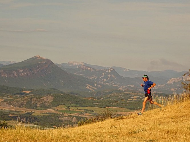
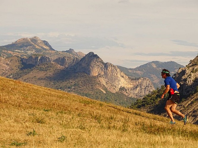
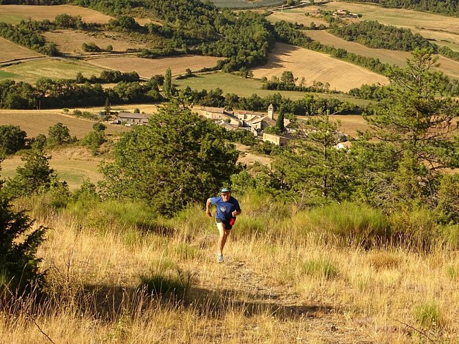
This trail run starts in Melve on the northern edge of the Hautes Terres de Provence. The first kilometer is gentle, followed by a steep climb leading to a ridge between the Tête de Bourcier and the summit of Les Croix (with views of the Durance loop and the Lure, Barronies, Dévoluy, Ecrins, and Monges mountain ranges). This beautiful ridge is flown over by gliders coming from Tallard or Thèze. A long, technical descent brings you back to the starting point.
From Le Serre (851 m), follow the D 104 north toward Claret (1 km).
At Chemin de la Plane (855 m), take the trail on the right, which is gentle at first. It becomes increasingly steep until it reaches the forest and the Tête de Bourcier.
Below Bourcier (1,235 m), continue along the ridge, passing a short, somewhat steep section to reach the summit of Les Croix.
At Les Croix (1,425 m), begin the descent, staying on the ridge for 500 m.
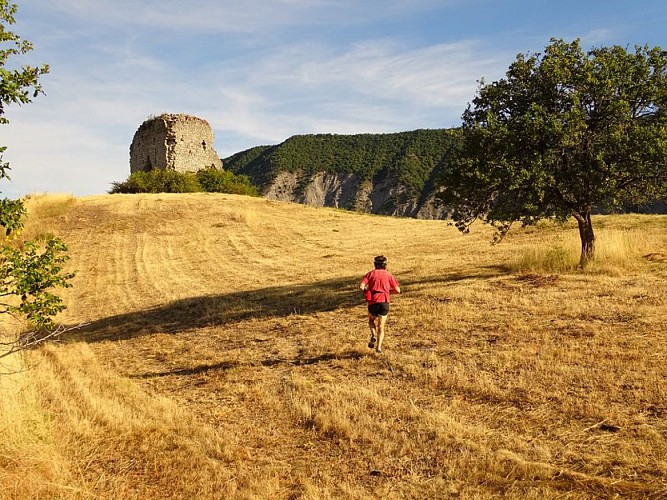
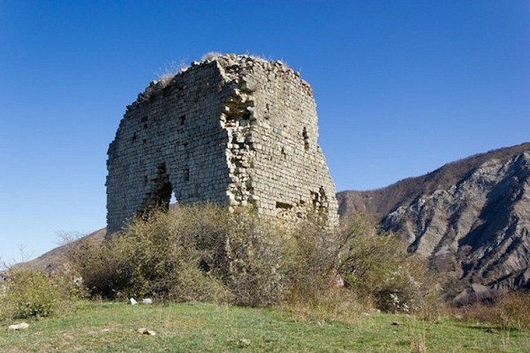
Continue, leaving a trail on your left that heads toward Les Chanderettes. A technical descent follows to the Melve tower (don’t miss the sighting tubes and the Géoparc information panel).
At 990 m, take the trail that drops sharply to the right and leads to Le Serre and the trailhead.
Technical Information
Altimetric profile
Starting point
Additional information
Public transport
Let’s limit our trips and use public transportation and carpooling: zou.maregionsud.fr
Advice
There are many points of interest not to be missed along the way: the Melve Tower, the sighting tubes, the Geopark information kiosk...
Advised parking
Parking lot in Le Serre
Access
From La-Motte-du-Caire (7 km), take the D 104 to Melve and continue north to Le Serre.
Arrival
Le Serre, 1 km from Melve village
Departure
Le Serre, 1 km from Melve village
Data author
