Alert
Alerts
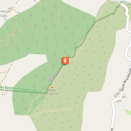
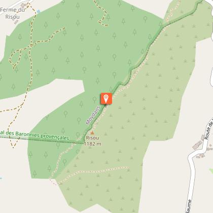
Montagne du Risou


Description
A short round hike, to reach the top of Risou, sentinel of the Rosan’s area. The trail is steep, but the view rewards all the effort! A few days a year, the light crosses the mountain through a hole in the rock.
In Palluel, the path starts to the right of a small valley, in the undergrowth, then climbs steeper and winds through a forest of Scots pines. The climb becomes more and more rocky and straight and leads to a first rocky plateau.
The trail continues with a short passage requiring a stairway climb to quickly reach the plateau. The biotope changes little by little, the pines give way to downy oaks and boxwood. Enjoy the landscape, it justifies alone all the efforts of the climb.
Arrived at the Chapelle Saint-Jean, it is possible to go further by continuing on the ridge; enjoy the best panorama that this mythical summit offers. The same path brings you back to your starting point.
Technical Information
Altimetric profile
Starting point
Points of interest
Additional information
Public transport
Think about public transport and carpooling: zou.maregionsud.fr
Advice
The climb to the ridge quickly becomes very steep. Good shoes are essential because the descent is slippery. There is a hole in the rock on the south side below the ridge. You may have the chance to observe it (be careful, just behind it, it is a vertical cliff).
Advised parking
D 425 road at the Col de Palluel, Moydans
Access
From Serres (18 km), take the D 994 towards Rosans, then, at Col de Palluel, follow the D 425 for 250 m towards Saint André de Rosans. Parking: D 425 at Col de Palluel, Moydans
Arrival
D 425 road at the Col de Palluel, Moydans
Departure
D 425 road at the Col de Palluel, Moydans
Data author
