Alert
Alerts
L’Oratoire
Description
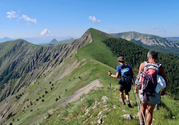
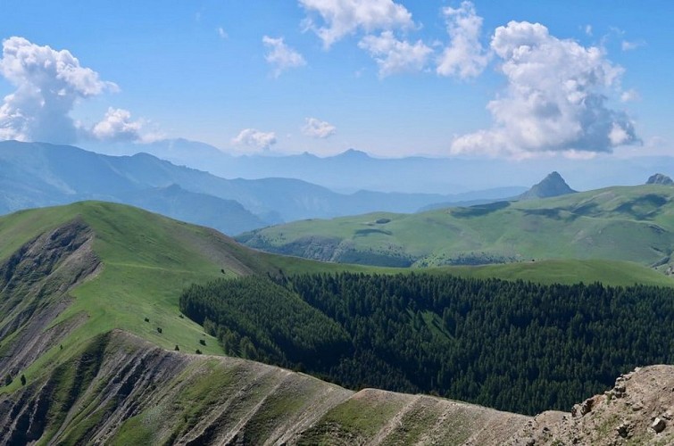
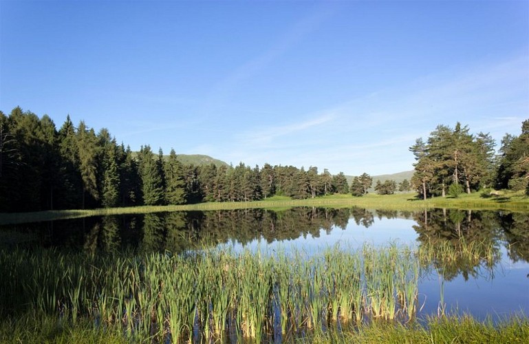
The ridge trail leading to the summit of L'Oratoire offers breathtaking views of all the mountain ranges surrounding Les Monges. The panorama is stunning and dizzying! The return trip takes you through the forest, with a short stop at Lac des Monges.
Follow the trail to the left before the Garnaysse ford.
Pass the Vergères forest road on your left and continue on the one to the right.
Leave the trail and take a path to the left. This path quickly gains elevation via about ten switchbacks until it emerges from the forest.
On the broad Colle ridge (1,840 m), head up to the right toward the summit of L’Oratoire.
At L’Oratoire (2,072 m), follow the ridge along the GR 6 trail markers (numerous markers). It is a very long ridge, dizzying in places, passing through the summit of Clot Ginoux and Laupie.
At Col de Clapouse (1,692 m), take the right branch of the GR 6 toward Lac des Monges. This is a path through pastures. Cross a ford, then shortly after, join a barely marked trail.
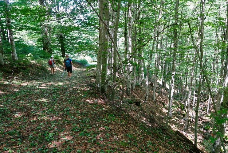
Follow this trail for a few hundred meters. At a wooden post, continue along the path to the left. It soon enters the forest.
At Pradon (1,590 m), follow the wide forest trail down to the right. You’ll soon reach the lake.
At Lac des Monges (1,544 m), leave the lake and continue right along the trail to the parking lot (ONF gate). Cross the parking area and, 50 m further on, take the trail to the left.
Just past another ONF gate, leave the trail and follow the path that descends to the right into the forest.
Continue along the trail on the left.
Leave the forest trail on the left and continue along the one on the right. After crossing a footbridge over the stream, follow the stream until you reach the starting ford.
Technical Information
Altimetric profile
Starting point
Additional information
Public transport
Let’s limit our trips and use public transportation and carpooling: zou.maregionsud.fr
Advice
WARNING: On this route, you may encounter livestock guard dogs protecting herds from wolf attacks.It is strongly discouraged to bring a pet dog, even if it is on a leash.If you come across a herd, stay calm: stop, let the guard dogs get a good look at you, then give the herd a wide berth without making any sudden movements.→ To learn the proper precautions to take when encountering livestock guard dogs, visit: rando.sisteron-alpesprovencales.fr/information/14-les-patous-et-nous-!
Advised parking
Parking area near a small ford fed by the springs of the Garnaysse
Access
From Sisteron (32 km), take the D 951, then the D 1 toward Clamensane and Bayon. Continue to Esparron-la-Bâtie. When you reach Esparron, follow the access road to the lake. After 3 km, park near the Garnaysse ford.
Arrival
Gué de Garnaysse, Bayons
Departure
Gué de Garnaysse, Bayons
Data author
