Alert
Alerts
Le Vieil Eyguians
Description
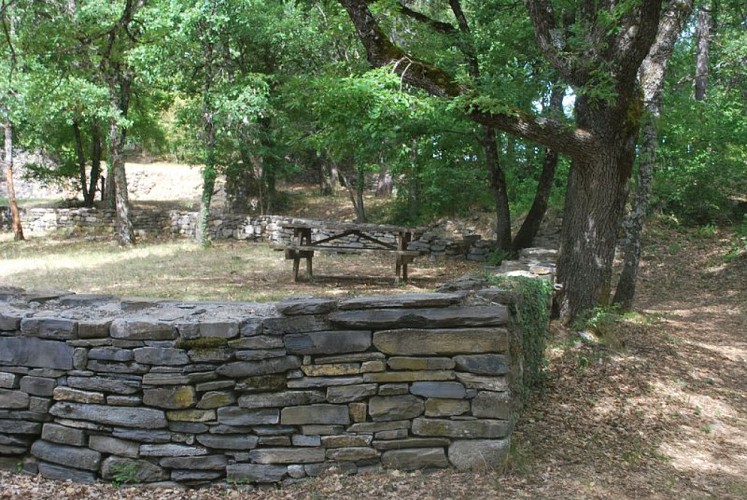
A family outing to have a picnic at the site of the old village and take a leisurely stroll along the shaded botanical trail.
From the parking lot across from City Hall, follow the departmental road toward Laragne.
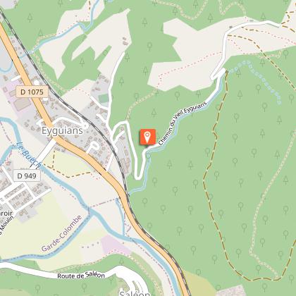
After 250 meters, turn left onto Chemin du Vieil Eyguians. Go under the railroad tracks and continue straight ahead toward the cemetery. About 20 meters past the cemetery, a small trail descends to the right and follows a stream bed through the woods. Follow the marked trail. It leads through the woods and across marl deposits. It then follows the gas pipeline (a cleared path) before re-entering the forest about 50 meters further on to the left. Continue the ascent, and at the next trail junction, take the trail straight ahead. It leads to Vieil Eyguains and its abandoned hamlet.
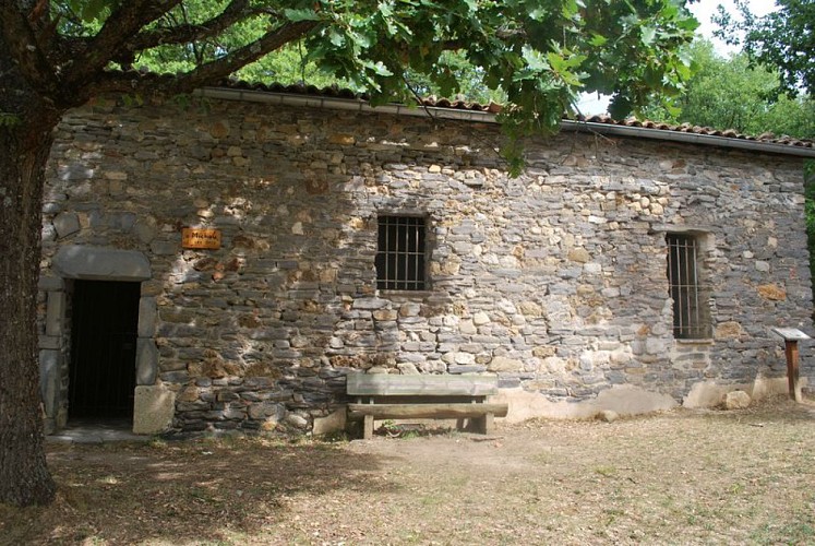
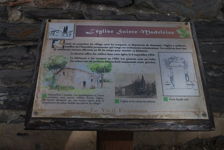
Once on the trail, follow it up to the left to discover the restored church and the ruins of the village abandoned at the end of the 19th century. Themed signs mark the remains of the old village.
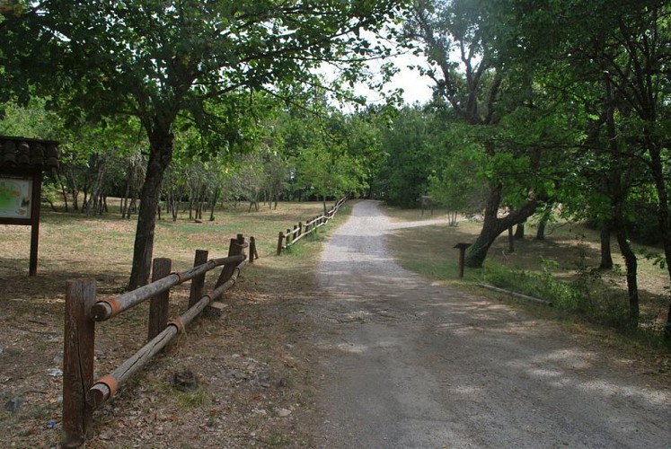
Leave the trail about 150 m further on to take a path on the right that leads to the fitness trail, in the heart of the Beaumont National Forest. Cross the clearing and continue straight ahead on the trail that enters the woods.
Follow the trail for about 30 meters and quickly leave it to take a path on the right that gradually veers away from the trail. Reach the gas pipeline and follow it downhill for about 350 meters.
Turn left onto an old botanical trail and follow it downhill to the trail junction.
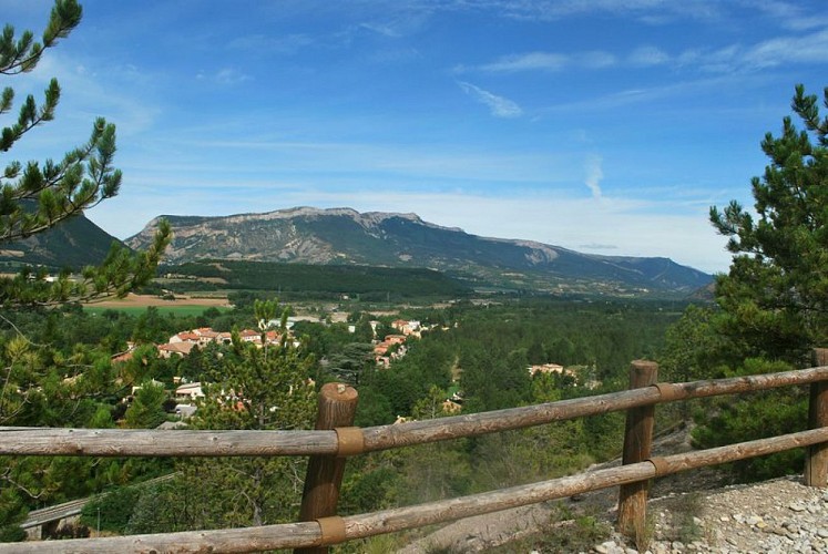
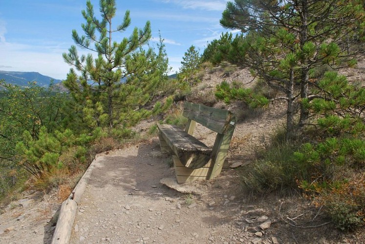
Take the trail on the left to begin the descent (there’s a lookout point with a bench at one of the turns). At the next major intersection, continue downhill to the right. The trail runs alongside the Bestiace stream below.
Return to the starting point by taking the same route as on the way there.
Technical Information
Altimetric profile
Starting point
Additional information
Public transport
Let’s limit our trips and use public transportation and carpooling: zou.maregionsud.fr
Advice
Explore the church and the ruins of the old village Explore the themed trail and botanical trail Campfires permitted in designated areas
Advised parking
Parking lot in Eyguians
Access
From Laragne (6 km), take the D 1075; in the village of Garde Colombe Eyguians, follow the sign for “Vieil Eyguians.”
Arrival
On the left after the bridge under the railroad tracks, Eyguians
Departure
On the left after the bridge under the railroad tracks, Eyguians
Data author
