Alert
Alerts
Ravin de l’Echelle
Description
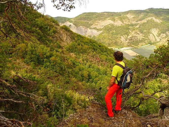
This ridge hike is particularly dizzying.After a short but steep climb near the waterfall, the trail becomes gentle and refreshing as it follows the Échelle stream to the base of the Rouyères ridge. Once again, the trail climbs steeply and becomes dizzying in places (several handrails ensure safety).Demanding in terms of both distance and physical exertion, this hike remains shaded throughout its entire route. The view from the orientation table at the head of La Plane is breathtaking and dizzying (round trip)!
From St-Barthélemy (940 m), follow the paved road for 200 m.
Turn left into the Ravin de l’Échelle via a trail that winds upward to pass the waterfall of the same name.
Continue along the upper Ravin de l’Échelle, following the stream.
Take the trail on the left that moves away from the ravine, climbing to reach the upper trail.
Head left to reach the ridge.
At the Crête des Rouyères (1,360 m), follow the trail while staying on the ridge (a mountain bike trail branches off to the left). This trail climbs rapidly to the summit of Les Plauts. From there, it becomes very exposed for the remainder of the route. Shortly after the summit, a trail joins from the right (Col des Rouyères). Several handrails equipped with cables secure the path.
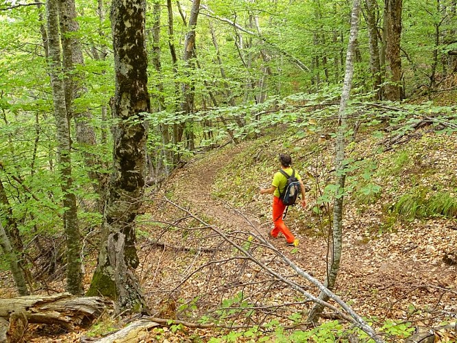
Once at Tête de la Plane (1,430 m), the trail descends to the left into a beautiful beech forest after stopping at the orientation table at the summit of Tête de la Plane. A magnificent panorama opens up from Dévoluy to Mercantour.
At the Plane junction (1,410 m), pass the trail on the right that descends toward Gigors. Continue along the slope, crossing two handrails to reach a trail. Follow the trail for 500 m.
Pass the trail on your right that descends to the source of the Jas and continue along the path until you reach a hairpin bend. Turn left to reach the Crête des Rouyères.
Back on the Crête des Rouyères (1,360 m), follow points 6 through 3 in reverse order (top of the waterfall). At point 3, take the path on the left that climbs uphill and soon joins a trail.
Continue along the descending trail on the right.
Pass the ascending trail and turn right toward the starting point.
Technical Information
Altimetric profile
Starting point
Additional information
Public transport
Let’s limit our trips and use public transportation and carpooling: zou.maregionsud.fr
Advice
Several handrails ensure safety
Advised parking
Saint-Barthélemy (le Mas), Faucon-du-Caire
Access
From La-Motte-du-Caire (10 km), take the D 951 north to Faucon-du-Caire. Continue for another 2 km to reach St-Barthélemy.
Arrival
St-Barthélemy (road Col du Sarraut), Faucon-du-Caire
Departure
St-Barthélemy (road Col du Sarraut), Faucon-du-Caire
Data author
