Alert
Alerts
Crête de Géruen


Description
Pleasant hike which from the summit, allows you to discover the heights of the west side of the Monges (2111 m), the Monges massif, and on the opposite side the Mélan forest with its two hiking routes: the Grande Aiguille and the cave of Saint-Vincent. Hopefully, you may observe chamois, mouflons and marmots as well as many birds.
From the parking lot, at the “Col de Fontbelle” post, follow the track towards “Crête de Géruen”. Pass an ONF ( National Forest Office) fence and and follow along the Maison Forestière de Fontbelle. Continue on the track for about 700 m, and take then a path to the right which gradually leads to the Géruen ridge.
Ignore the small footpaths on the left and continue on the same path. The last bend runs along the rocky face and leads to the ridge.
On the Crête de Géruen (1746 m), take the path on the right towards “Sommet de Géruen”, then at the next intersection (“Hubac de Géruen”), continue to the right following the same direction to join the edges of ridges (beautiful view on the cliffs).
Carruy on your ascent all the way to the summit by following the milestones ("Sommet de Géruen - 1885 m" post).
Hike back down following the same route.
Technical Information
Altimetric profile
Starting point
Additional information
Departure
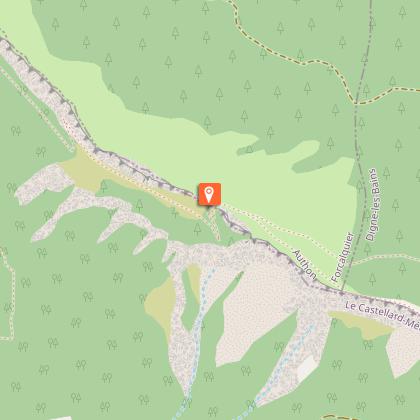
Col de Fontbelle - parking du col, Authon
Arrival
Col de Fontbelle - parking du col, Authon
Access
From the roundabout north of Sisteron (27 km), take the D 951 then the D 3 to Saint-Geniez. Cross the village and continue on the D 3. Cross Authon and continue to Col de Fontbelle
Advised parking
at the pass, Col de Fontbelle, Authon
Public transport
Think about public transport and carpooling: zou.maregionsud.fr
Advice
Caution: Pastoral zone, shepherd dogs are active. The ascent is gradual, without difficulty. During Summer, a profusion of flowers adorns the green ground. Most of these flowers are protected; do not pick them. You may simply access to the Géruen ridge, but the most interesting part (landscape, flora and fauna) is further on, towards the Géruen summit.
Data author
