Alert
Alerts
Crête de Chabre par les Espranons (N°7)


Description
This return trip hiking offers a rise on Chabre Mountain and a section on its wonderful ridge. Alongside the ridge, you can enjoy a stunning panoramic view. The shady forest while hiking is also here to please you.
From the hamlet, go on the departmental road D 330 towards Laragne for about 1,5 km.
Take a forest track heading to your right where you can see an ONF fence and follow the yellow marking. At the « clos du chat » signpost ignore the path on your left and go on the track. When you hike up the track again, you can see on your right St Genis Corrie. Don’t forget to take a look at the different landscapes.
After 2 hairpin bends, turn right and follow the main track. 3 bends later, take the path leading to « la crête de Chabre ». Go straight forward, ignoring the paths on your left and your right. The rise is quite steep until the ridge.
Turn right towards Chabre summit (international hang-gliding site). To reach the summit, walk on a wide track and then take a small path in front of you. Hike back down following the same route.
Technical Information
Altimetric profile
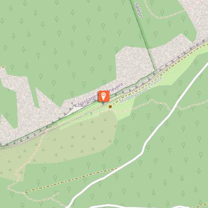
Starting point
Additional information
Public transport
Limitons les déplacements, pensons aux transports en commun et au covoiturage : zou.maregionsud.fr
Advice
Take a lot of water with you Discovery of Chabre Mountain, a famous hang-gliding site.
Advised parking
Parking: La Tuilière hamlet parking lot in Saléon.
Access
From Laragne (3 ,5 km), go towards the Méouge Canyons and cross the Buëch river. Turn right onto the departmental road D 330 until you reach La Tuilière hamlet.
Arrival
Site d'envol de Chabre
Departure
Site d'envol de Chabre
Data author
