Alert
Alerts
Camin Traversut walk
Description
A long walk through meadows and woods to explore the area around Cambounès
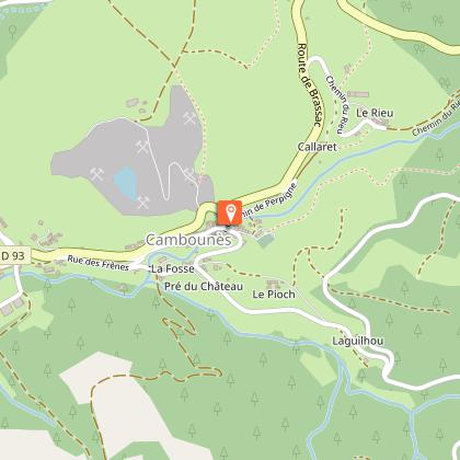
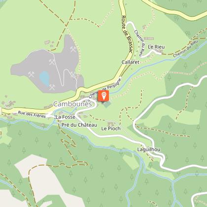
GPS coordinates for the car park: 43.58640, 2.44139
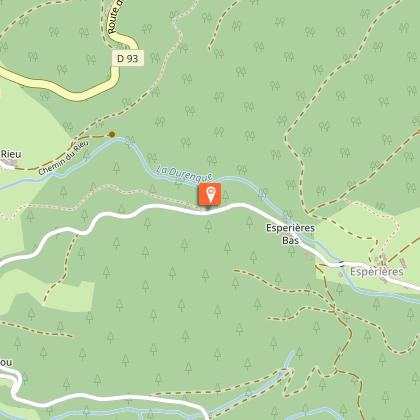
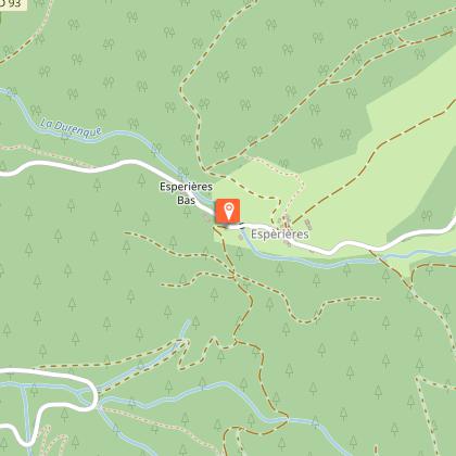
A walk through the hills around Cambounès, offering beautiful panoramic views and the chance to admire the area’s local heritage: churches in the villages and hamlets, as well as some rarer features such as ‘pierre plantée’ and menhirs.
Technical Information
Altimetric profile
Starting point
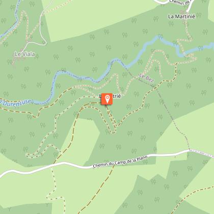
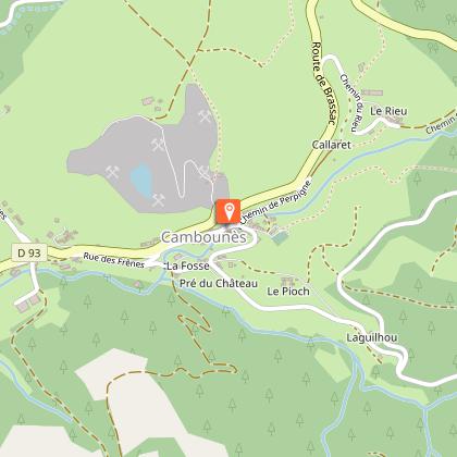
Steps
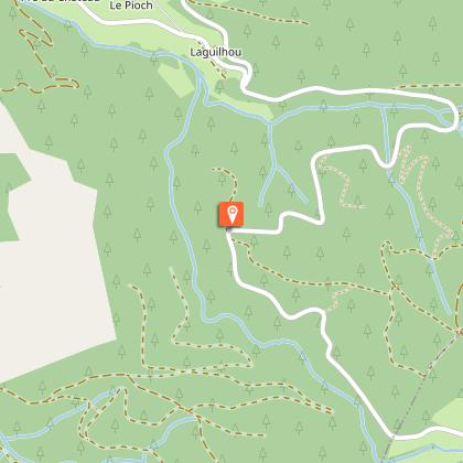
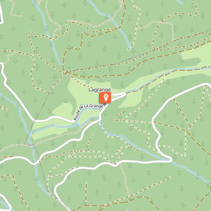
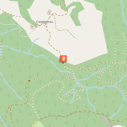
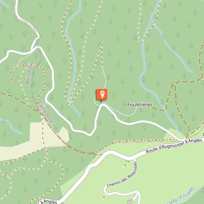
Additional information
Environments
Close to GR footpath
Forest location
20 - 30 min from a train station by car
In the country
Updated by
Office de Tourisme Sidobre Vals et Plateaux - 31/08/2026
www.sidobre-vallees-tourisme.com/
Report a problem
Open period
All year round daily.
Contact
Phone : 05 63 74 63 38
Email : accueil@sidobretourisme.fr
Website : https://www.sidobre-vallees-tourisme.com/
Type of land
Stone
Ground
Animals
Yes
Data author
