Alert
Alerts
04. Les Crosets - Sur Cou - Chavalet
Description
A gentle, downhill trail over the river and through the woods with spectacular views of the Dents du Midi and Dents Blanches mountain ranges.
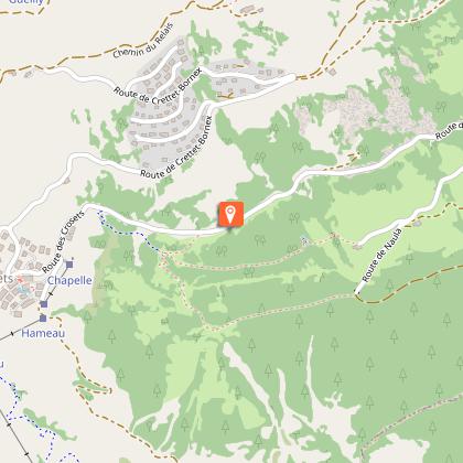
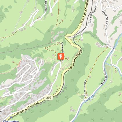
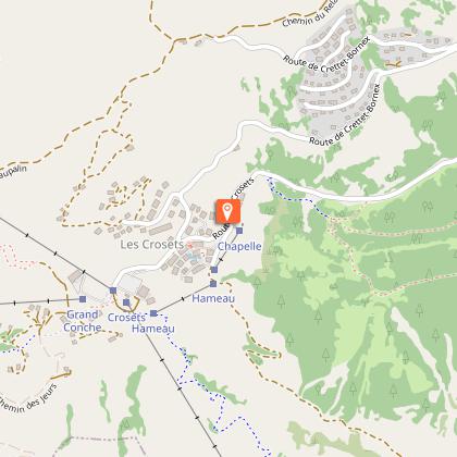
Starting point at the little chapel at the entrance to Les Crosets
Follow the pink snowshoe signs n° 4.
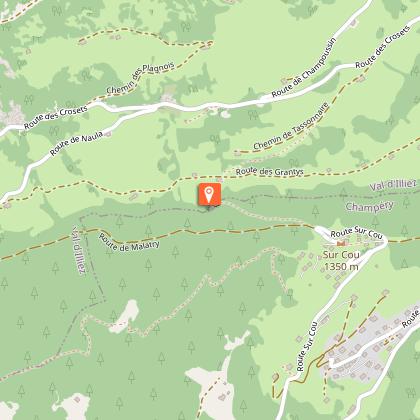
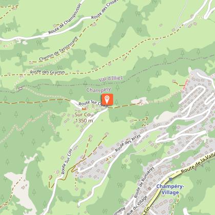
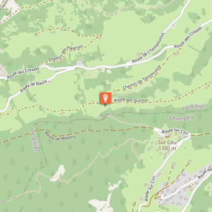
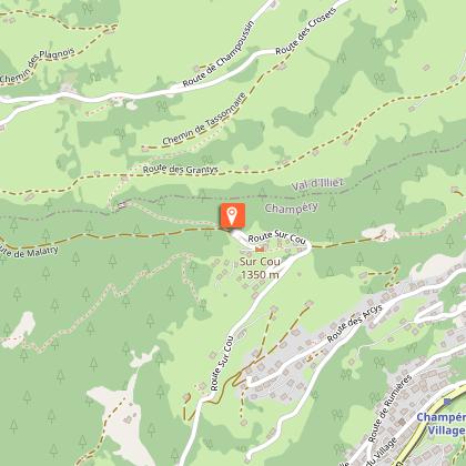
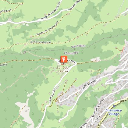
Walk about 300 metres along the snowbank on the side of the main road in the direction of Val-d'Illiez. At the roadside parking spaces, turn right and walk down the path that winds through the forest, looking out for quaint alpine chalets, typical of the Illiez Valley, along the way. Cross the Poijeur Bridge over the Chavalet River and continue along a pleasant path through the snowy forest to the alpine restaurant Cantine sur Coux for a delicious pick-me-up.
From Chavalet, you can either turn around or continue the descent by a path that is quite steep, until you reach the Croix de Chavalet which marks the end of the snowshoe trail.
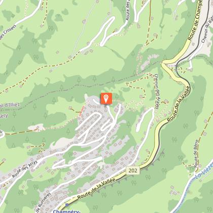
From the cross, you can walk (without snowshoes) to the village of Val-d'Illiez by a hiking trail (towards La Cour) or to the village of Champéry along the residential road.
To return to Les Crosets, you can take the bus from Val-d'Illiez.
Timetable and prices on www.cff.ch
The AOMC train connects Champéry - La Cour - Val-d'Illiez.
VARIATIONS ON ROUTE NUMBER 4 :
ROUND TRIP :
Les Crosets - sur Cou - Les Crosets
Round trip (downhill to the alpine restaurant Cantine sur Coux then back up by the same trail)
6.4 km, Ascent +400m, Descent -400m, 3h
ONE WAY :
Snowshoe trail (according to route 4 on the snowshoe map):
Les Crosets - sur Cou - Chavalet
One-way (downhill) :
4.5 km, Ascent +50m, Descent -650m, 2h
Chavalet - sur Cou - Les Crosets
One-way (uphill) :
4.5 km, Ascent +650m, Descent -50m, 3h
Snowshoe trail with pedestrian link to the public transport stations:
Les Crosets - sur Cou - Chavalet - Champéry-village
One-way (downhill)
5.6 km, Ascent +60m, Descent -700m, 2h15
Les Crosets - sur Cou - Chavalet - La Cour - Val-d'Illiez
One-way (downhill)
7.2 km, Ascent +110m, Descent -830m, 2h45
Technical Information
Altimetric profile
Starting point
Steps
Points of interest

Additional information
Updated by
Région Dents du Midi SA - 27/01/2026
www.regiondentsdumidi.ch
Report a problem
Contact
Phone : +41 24 477 20 77
Email : valdilliez@rddm.ch
Website : https://www.regiondentsdumidi.ch/fr/region/valdilliez
Type of land
Non-groomed itinerary
Data author
