Alert
Alerts
Croix de Culet - Col de Cou - Barme - Champéry
Description
During the Second World War, the Col de Cou was a known thoroughfare for the transport of arms and munitions and a strategic meeting point for Resistance soldiers. It was also the gateway to salvation for countless fleeing refugees.
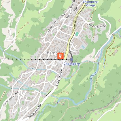
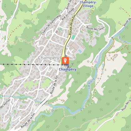
Departing from Champéry, the cable car takes you effortlessly to the Croix de Culet at 2000m. Take a moment to admire the landscape and enjoy the silence, broken only by the distant chiming of cowbells from the surrounding pastures.
From the cable car, take the trail that leads past the Lapisa, La Pierre and La Poyat alpine farms. From La Poyat, a steeper trail leads up to the Col de Cou pass, marked by a lone building that housed the alpine border guards in days gone by. Take a moment to enjoy the endless views of the Dents du Midi behind you, the Dents Blanches to your left and the vertiginous couloirs of the Terres Maudites and the Manche Valley before you in France.
When you've had your fill, follow the trail along the iconic Berroi ridge, one of the region's most beautiful hikes in itself, along the Barme valley. At the end of the ridge, a trail through the forest will take you down into the Barme plateau, a veritable gem of a tranquil alpine hamlet, dotted with quaint chalets that are still working farms. From here on down to Champéry, the silence and beauty of the Alps is at once restful and inspiring.
Good to know: If you want to skip the long walk home to Champéry, the Barme shuttle bus (CHF 7.- ; 50% with Multipass) runs regularly in summer and stops at the end of the Berroi ridge (in that case your hike will be 3.5 hours, +460m and -770m) and in the Barme plateau.
In case of unavailability or lack of places: Taxi de Champéry +41 79 430 15 15
Technical Information
Altimetric profile
Starting point
Points of interest

Additional information
Updated by
Région Dents du Midi SA - 10/03/2026
www.regiondentsdumidi.ch
Report a problem
Environments
Mountain view
Open period
June to september
Contact
Phone : +41 24 479 05 50
Email : champery@rddm.ch
Website : https://www.regiondentsdumidi.ch/fr/region/champery
Type of land
Stone
Ground
Grit
Location complements
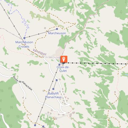
Departure from Croix-de-Culet at Cable Car arrival.
Data author
